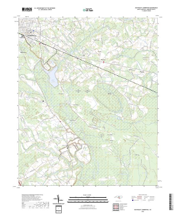
2022 Map of Southeast Lumberton
USGS Topo · Published 2022About this map
The Lumber River winds through this coastal plain landscape southeast of Lumberton, carving a path through extensive wetlands and named bluffs. The area is defined by its complex hydrography, where the Jacob Swamp and Jackson Swamp systems feed into numerous Carolina bays, such as Big Thoroughfare Bay, Bear Bay, and Juniper Bay. These elliptical depressions, unique to the Atlantic Seaboard, dominate the eastern half of the map, illustrating a landscape where drainage patterns have historically dictated the placement of roads and homesteads.
Find a feature on this map
141 named features on this map. Tap any name to fly to it.
Don’t see what you’re looking for? This feature index may not catch every label — zoom into the map to look around manually.
Map Details
Editions of this 2022 Southeast Lumberton Map
This is the sole edition of this map. No revisions or reprints were ever made.
Historical Maps of Bellamy Through Time
23 maps found

1943 Pages Mill
Robeson County, NC

1962 Gaddysville
Robeson County, NC
1972 Mc Donald
Robeson County, NC
1972 Northwest Lumberton
Robeson County, NC
1972 Southwest Lumberton
Robeson County, NC
1976 Gaddysville
Robeson County, NC
1976 Mc Donald
Robeson County, NC
1976 Northwest Lumberton
Robeson County, NC
1976 Southwest Lumberton
Robeson County, NC
1981 Mc Donald
Robeson County, NC
1986 Northeast Lumberton
Robeson County, NC
1986 Saint Pauls
Robeson County, NC
1986 Southeast Lumberton
Robeson County, NC
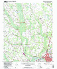
1997 Northwest Lumberton
Robeson County, NC
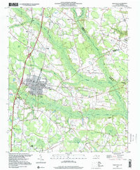
1997 Saint Pauls
Robeson County, NC
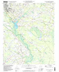
1997 Southeast Lumberton
Robeson County, NC
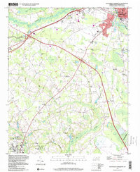
1997 Southwest Lumberton
Robeson County, NC
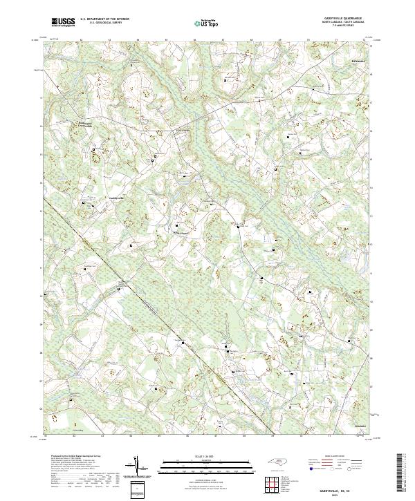
2022 Gaddysville
Robeson County, NC
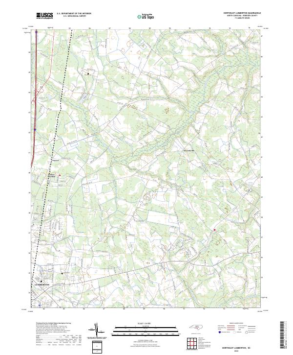
2022 Northeast Lumberton
Robeson County, NC
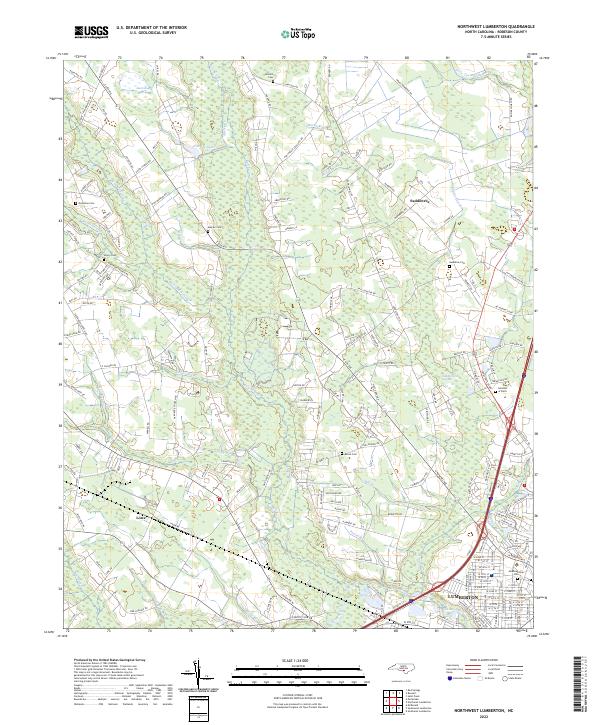
2022 Northwest Lumberton
Robeson County, NC
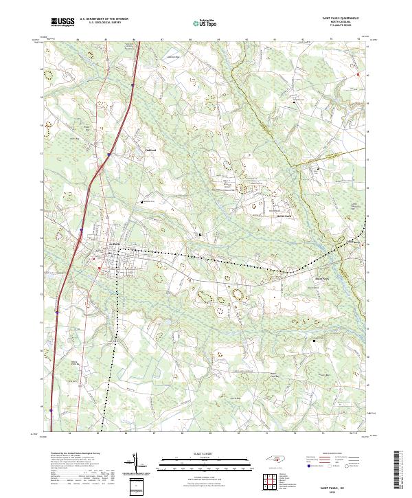
2022 Saint Pauls
Robeson County, NC
2022 Southeast Lumberton
Robeson County, NC
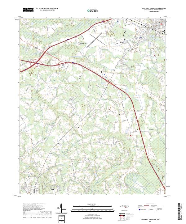
2022 Southwest Lumberton
Robeson County, NC