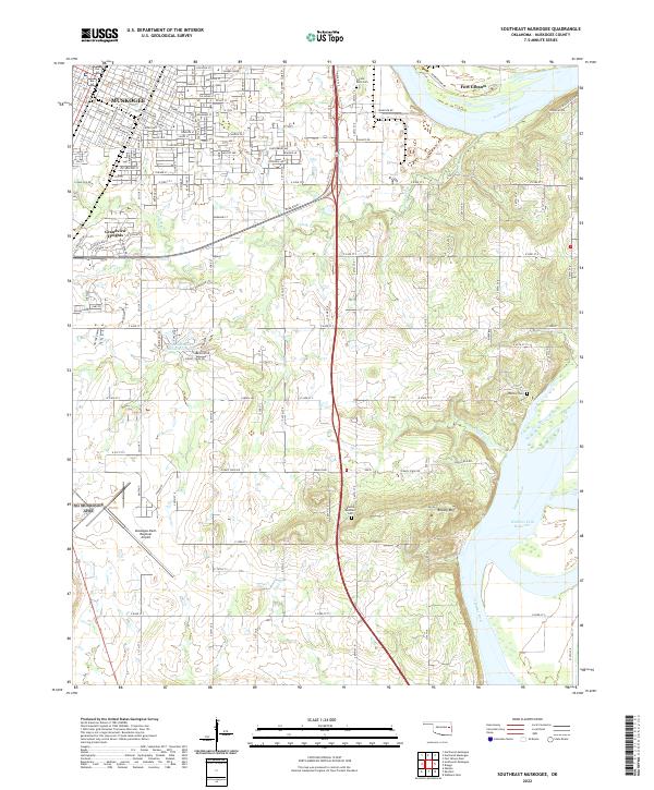
2022 Map of Southeast Muskogee
USGS Topo · Published 2022About this map
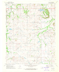
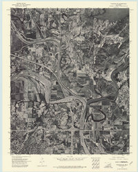
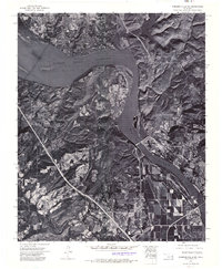
The Arkansas River carves a dominant path through this 2022 survey, marking the transition from the urban grid of Muskogee to the elevated terrain of Brushy Mountain. The city's southeastern expansion is evident in neighborhoods like Grandview Heights and residential clusters such as The Meadows Subdivision Lake. Significant infrastructure supports the region, most notably the Muskogee-Davis Regional Airport and the vast waters of the Webbers Falls Reservoir to the south. Local heritage is preserved in several rural burial grounds, including Frozen Rock Cem and Hammer Cem, which dot the landscape alongside tributaries like Coody Creek and Salt Creek. The map also captures the historic proximity of Fort Gibson, situated near the river's northern bend, providing a detailed look at the contemporary intersection of aviation, recreation, and regional history in Muskogee County.
Find a feature on this map
54 named features on this map. Tap any name to fly to it.
Don’t see what you’re looking for? This feature index may not catch every label — zoom into the map to look around manually.
Map Details
Editions of this 2022 Southeast Muskogee Map
This is the sole edition of this map. No revisions or reprints were ever made.
Historical Maps of Muskogee Through Time
21 maps found

1905 Muscogee
Muskogee County, OK
1948 Keefeton
Muskogee County, OK
1950 Keefeton
Muskogee County, OK
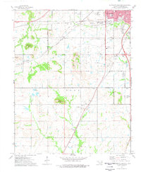
1963 Holt Mountain
Muskogee County, OK
1971 Beland
Muskogee County, OK
1972 Hulbert SW
Muskogee County, OK

1972 Keefeton NE
Muskogee County, OK
1972 Keefeton SE
Muskogee County, OK
1972 Keefeton SW
Muskogee County, OK
1972 Wagoner SE
Muskogee County, OK
1972 Webbers Falls SW
Muskogee County, OK
1974 Fort Gibson Dam
Muskogee County, OK
1974 Northeast Muskogee
Muskogee County, OK
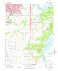
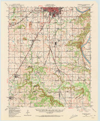
1974 Southeast Muskogee
Muskogee County, OK
1974 Southwest Muskogee
Muskogee County, OK
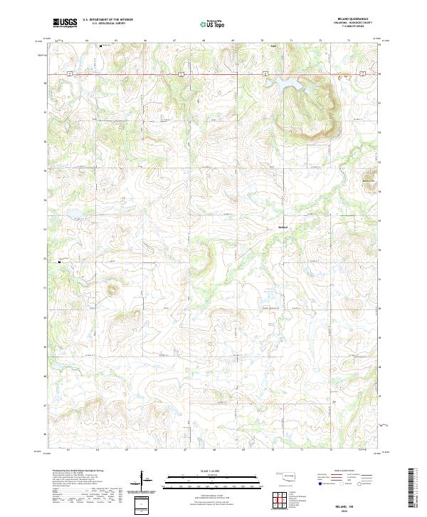
2022 Beland
Muskogee County, OK
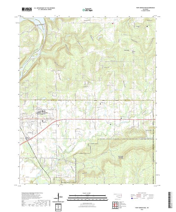
2022 Fort Gibson Dam
Muskogee County, OK
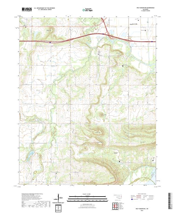
2022 Holt Mountain
Muskogee County, OK
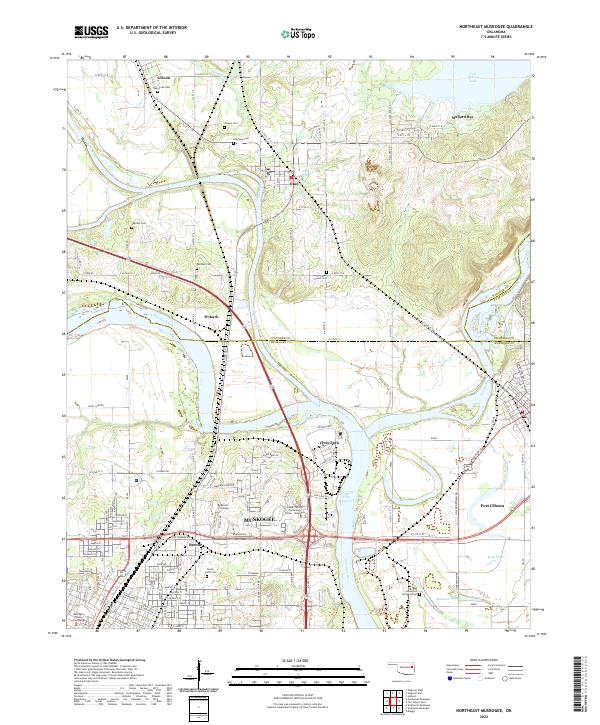
2022 Northeast Muskogee
Muskogee County, OK
2022 Southeast Muskogee
Muskogee County, OK
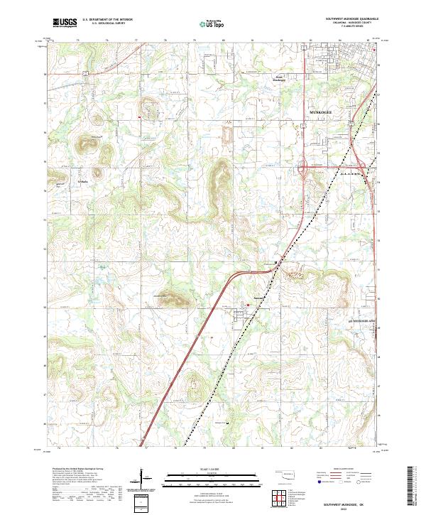
2022 Southwest Muskogee
Muskogee County, OK