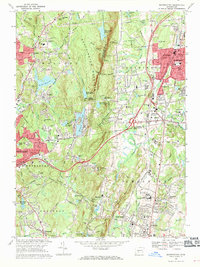
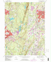
1968 Map of Southington
USGS Topo · Published 1970About this map
Southington Mountain dominates the central topography of this 1968 landscape, dividing the industrial and residential growth of Southington and Plantsville from the reservoir-dotted hills of Wolcott. The map captures a moment of significant infrastructure development, with the Penn Central rail line running through the valley and a network of schools such as Kennedy Jr High Sch and Dodd High Sch serving the expanding population.
Find a feature on this map
93 named features on this map. Tap any name to fly to it.
Don’t see what you’re looking for? This feature index may not catch every label — zoom into the map to look around manually.
Map Details
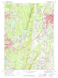
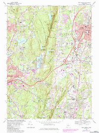
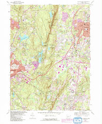
Editions of this 1968 Southington Map
5 editions found
Other maps of this area

1889 · Derby
USGS Topo · 1:62,500

1891 · Derby
USGS Topo · 1:62,500

1892 · New Haven
USGS Topo · 1:62,500

1892 · Meriden
USGS Topo · 1:62,500

1893 · Waterbury
USGS Topo · 1:62,500

1893 · Meriden
USGS Topo · 1:62,500

1893 · Derby
USGS Topo · 1:62,500

1904 · Waterbury
USGS Topo · 1:62,500

1904 · Litchfield
USGS Topo · 1:125,000

1906 · Farmington
USGS Topo · 1:125,000