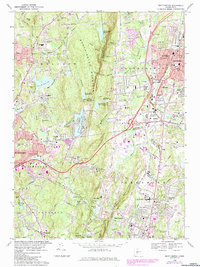
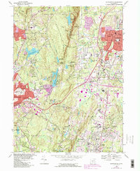
1968 Map of Southington
USGS Topo · Published 1984About this map
Southington Mountain divides this central Connecticut landscape, creating a dramatic physical barrier between the industrial valley to the east and the upland residential clusters to the west. In the lowlands, the Quinnipiac River corridor is densely developed, showing the expansion of Southington, Plantsville, and Milldale along the Boston and Maine railroad line. This area is punctuated by civic institutions like the Town Hall PO and the State Reformatory further south in Cheshire.
Find a feature on this map
84 named features on this map. Tap any name to fly to it.
Don’t see what you’re looking for? This feature index may not catch every label — zoom into the map to look around manually.
Map Details
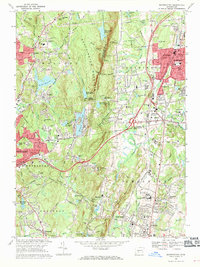
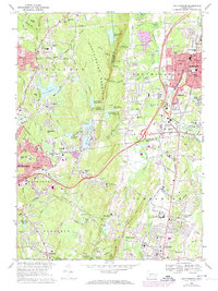
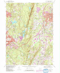
Editions of this 1968 Southington Map
5 editions found
Other maps of this area

1889 · Derby
USGS Topo · 1:62,500

1891 · Derby
USGS Topo · 1:62,500

1892 · New Haven
USGS Topo · 1:62,500

1892 · Meriden
USGS Topo · 1:62,500

1893 · Waterbury
USGS Topo · 1:62,500

1893 · Meriden
USGS Topo · 1:62,500

1893 · Derby
USGS Topo · 1:62,500

1904 · Waterbury
USGS Topo · 1:62,500

1904 · Litchfield
USGS Topo · 1:125,000

1906 · Farmington
USGS Topo · 1:125,000