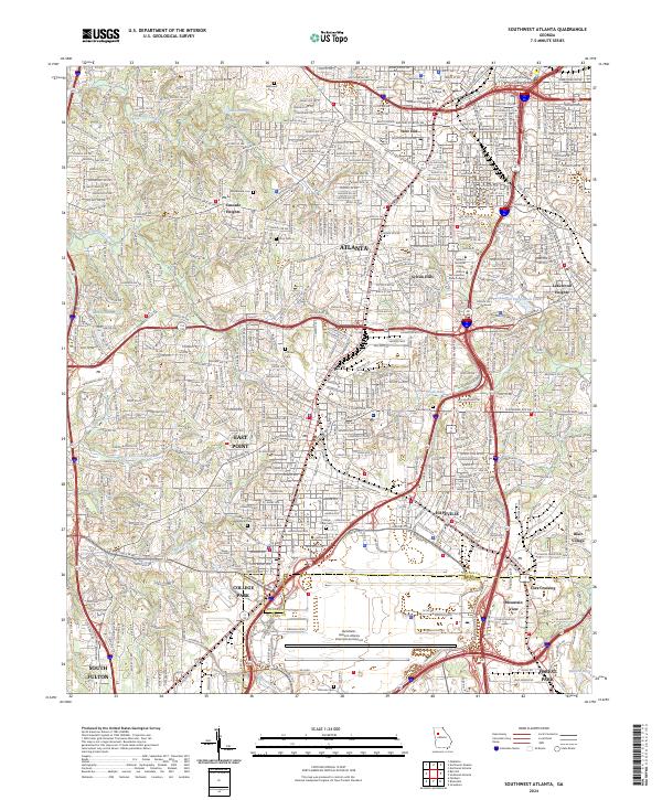
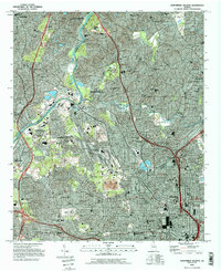
2024 Map of Southwest Atlanta
USGS Topo · Published 2024About this map
Atlanta anchors the northern portion of this detailed survey, showcasing the dense urban infrastructure of neighborhoods like West End and Sylvan Hills. The landscape is a complex intersection of academic, judicial, and transportation hubs, featuring the Morehouse College campus and the Supreme Court of Georgia. To the south, the massive footprint of Hartsfield - Jackson Atlanta International Airport dominates the terrain, fundamentally shaping the development patterns of Hapeville, College Park, and South Fulton.
Find a feature on this map
42 named features on this map. Tap any name to fly to it.
Don’t see what you’re looking for? This feature index may not catch every label — zoom into the map to look around manually.
Map Details
Editions of this 2024 Southwest Atlanta Map
This is the sole edition of this map. No revisions or reprints were ever made.
Historical Maps of Egan Park Through Time
13 maps found
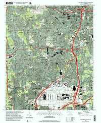
1954 Ben Hill
Fulton County, GA
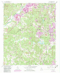
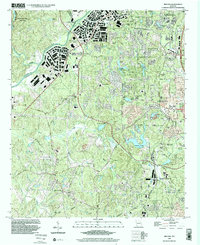
1954 Northwest Atlanta
Fulton County, GA
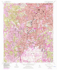
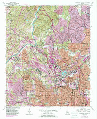
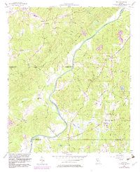
1954 Southwest Atlanta
Fulton County, GA
1958 Rico
Fulton County, GA
1993 Northwest Atlanta
Fulton County, GA
1993 Southwest Atlanta
Fulton County, GA
1997 Northwest Atlanta
Fulton County, GA
1997 Southwest Atlanta
Fulton County, GA
1999 Ben Hill
Fulton County, GA
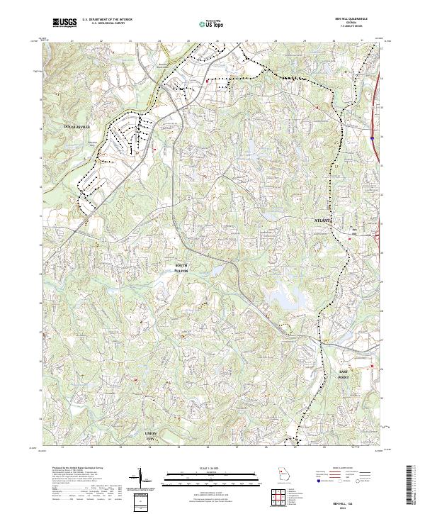
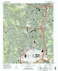
2024 Ben Hill
Fulton County, GA
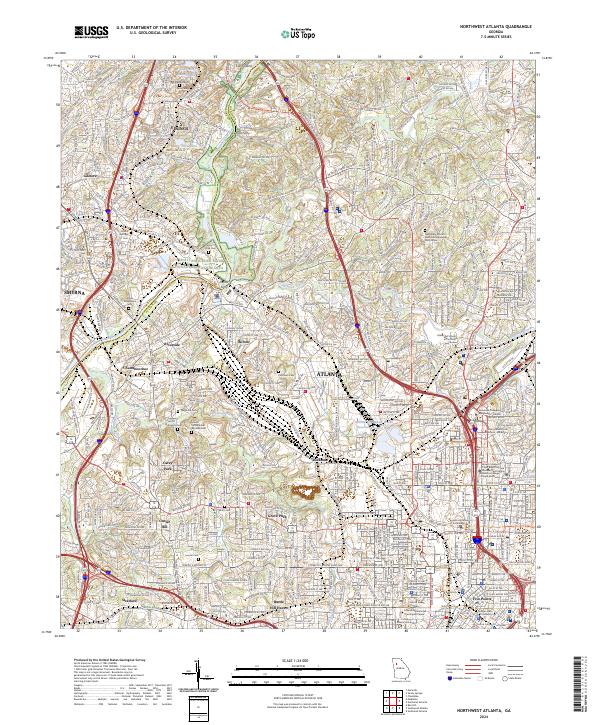
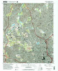
2024 Northwest Atlanta
Fulton County, GA
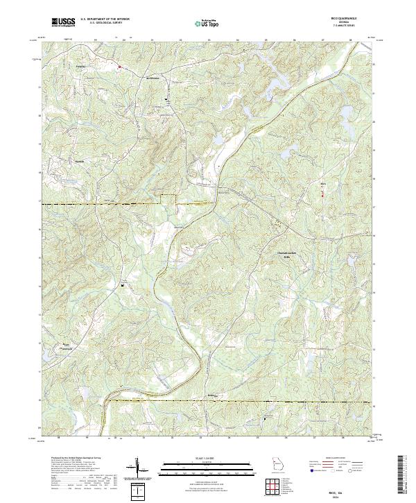
2024 Rico
Fulton County, GA
2024 Southwest Atlanta
Fulton County, GA