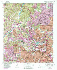
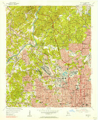
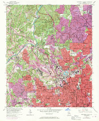
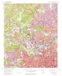
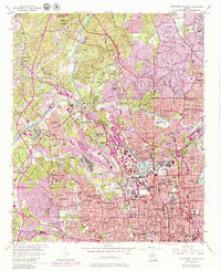
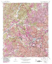
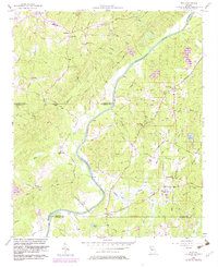
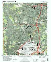
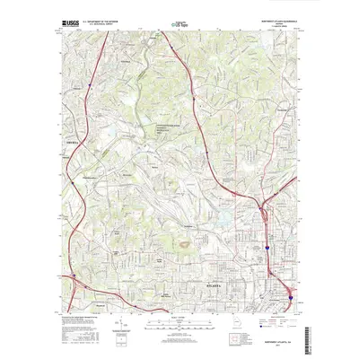
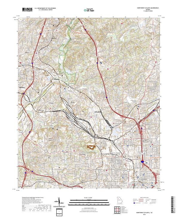
1954 Map of Northwest Atlanta
USGS Topo · Published 1988About this map
The Chattahoochee River carves a winding path through this urban-fringe landscape, defining the border between Cobb and Fulton counties. To the southeast, the dense grid of the city emerges, anchored by the Georgia Institute of Technology and the historic downtown hub at Five Points. The map documents a significant concentration of mid-century educational and religious institutions, including Atlanta University, Morris Brown College, and Booker T Washington High School.
Find a feature on this map
98 named features on this map. Tap any name to fly to it.
Don’t see what you’re looking for? This feature index may not catch every label — zoom into the map to look around manually.
Map Details
Editions of this 1954 Northwest Atlanta Map
7 editions found

Historical Maps of Atlanta Through Time
29 maps found
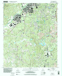
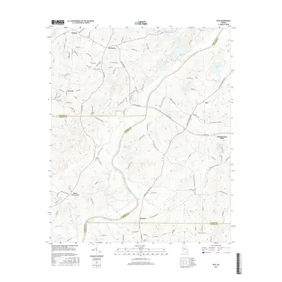
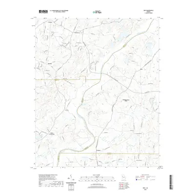
1954 Ben Hill
Fulton County, GA
1954 Northwest Atlanta
Fulton County, GA
1954 Southwest Atlanta
Fulton County, GA
1958 Rico
Fulton County, GA
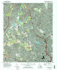
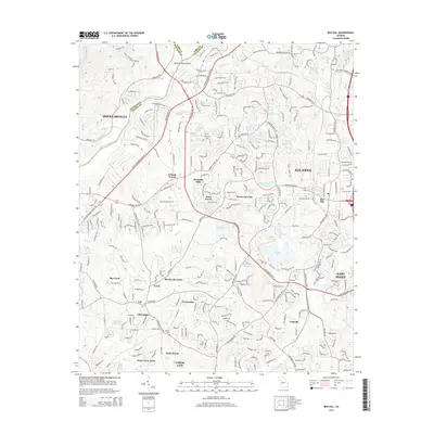
1993 Northwest Atlanta
Fulton County, GA
1993 Southwest Atlanta
Fulton County, GA
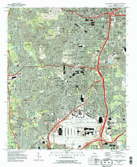
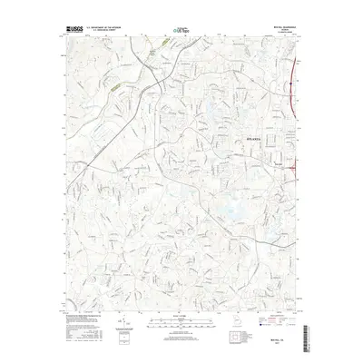
1997 Northwest Atlanta
Fulton County, GA
1997 Southwest Atlanta
Fulton County, GA
1999 Ben Hill
Fulton County, GA
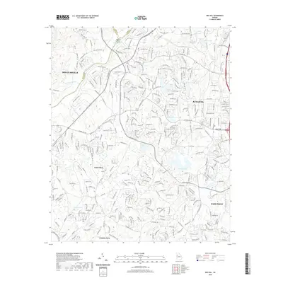
2011 Ben Hill
Fulton County, GA

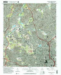
2011 Northwest Atlanta
Fulton County, GA
2011 Rico
Fulton County, GA

2011 Southwest Atlanta
Fulton County, GA
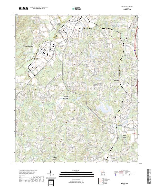
2014 Ben Hill
Fulton County, GA

2014 Northwest Atlanta
Fulton County, GA

2014 Rico
Fulton County, GA

2014 Southwest Atlanta
Fulton County, GA
2017 Ben Hill
Fulton County, GA
2017 Northwest Atlanta
Fulton County, GA
2017 Rico
Fulton County, GA

2017 Southwest Atlanta
Fulton County, GA
2020 Ben Hill
Fulton County, GA

2020 Northwest Atlanta
Fulton County, GA
2020 Rico
Fulton County, GA

2020 Southwest Atlanta
Fulton County, GA
2024 Ben Hill
Fulton County, GA
2024 Northwest Atlanta
Fulton County, GA
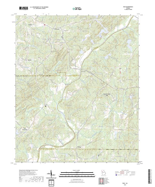
2024 Rico
Fulton County, GA
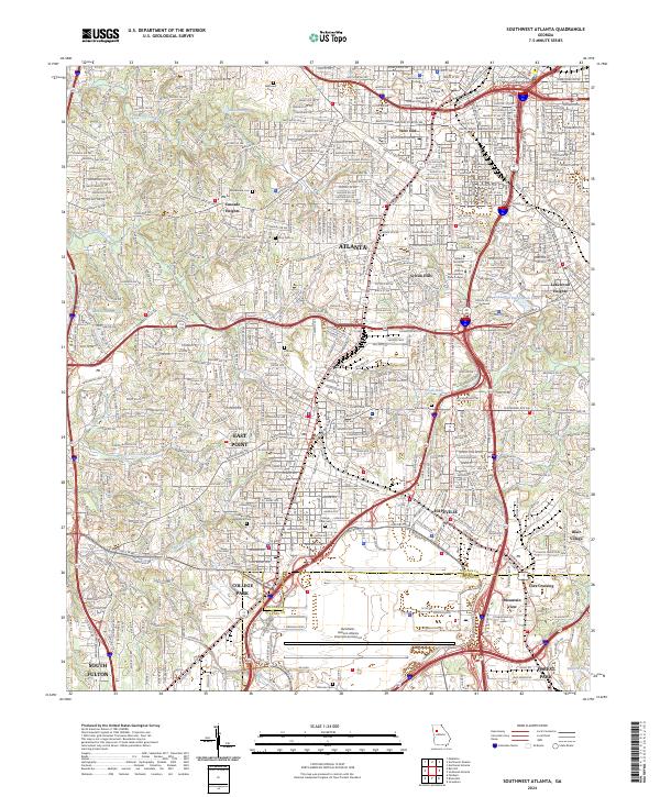
2024 Southwest Atlanta
Fulton County, GA