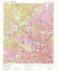
1954 Map of Northwest Atlanta
USGS Topo · Published 1979About this map
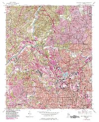
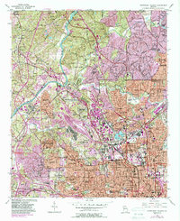
The Chattahoochee River carves a natural border between Cobb and Fulton counties, setting the stage for the industrial and residential expansion of northwest Atlanta. This period of growth is anchored by massive rail infrastructure, most notably the expansive Inman Yard and the Seaboard Bellwood Yard which dominate the central landscape. The density of cultural and educational institutions is striking, ranging from the Georgia Institute of Technology to historic campuses like Atlanta University and Morris Brown College.
Find a feature on this map
108 named features on this map. Tap any name to fly to it.
Don’t see what you’re looking for? This feature index may not catch every label — zoom into the map to look around manually.
Map Details
Editions of this 1954 Northwest Atlanta Map
7 editions found

Other maps of this area

1888 · Atlanta
USGS Topo · 1:125,000

1890 · Atlanta
USGS Topo · 1:125,000

1891 · Marietta
USGS Topo · 1:125,000

1892 · Atlanta
USGS Topo · 1:125,000

1895 · Atlanta
USGS Topo · 1:125,000

1895 · Marietta
USGS Topo · 1:125,000

1897 · Marietta
USGS Topo · 1:125,000

1901 · Marietta
USGS Topo · 1:125,000

1953 · Atlanta
USGS Topo · 1:250,000

1954 · Conley
USGS Topo · 1:24,000