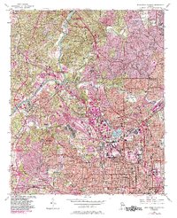
1954 Map of Northwest Atlanta
USGS Topo · Published 1983About this map
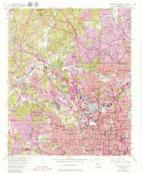
The Chattahoochee River carves through the northwestern corridor of Atlanta, serving as both a natural boundary and a center for recreational sites like the Chattahoochee River National Recreational Area (Palisades Unit). The landscape reflects a mid-century urban expansion, where established neighborhoods like Buckhead and Riverside sit alongside developing districts. Large institutional campuses and public spaces, such as the Georgia Institute of Technology and Atlanta Memorial Park, highlight the city's civic growth during this era.
Find a feature on this map
82 named features on this map. Tap any name to fly to it.
Don’t see what you’re looking for? This feature index may not catch every label — zoom into the map to look around manually.
Map Details
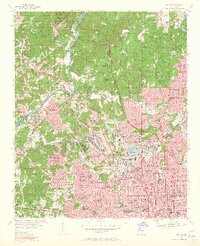
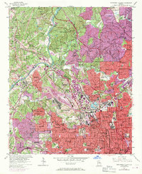
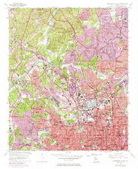
Editions of this 1954 Northwest Atlanta Map
7 editions found

Other maps of this area

1888 · Atlanta
USGS Topo · 1:125,000

1890 · Atlanta
USGS Topo · 1:125,000

1891 · Marietta
USGS Topo · 1:125,000

1892 · Atlanta
USGS Topo · 1:125,000

1895 · Atlanta
USGS Topo · 1:125,000

1895 · Marietta
USGS Topo · 1:125,000

1897 · Marietta
USGS Topo · 1:125,000

1901 · Marietta
USGS Topo · 1:125,000

1953 · Atlanta
USGS Topo · 1:250,000

1954 · Conley
USGS Topo · 1:24,000