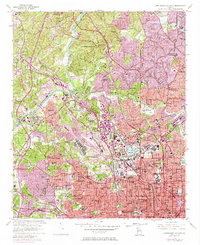
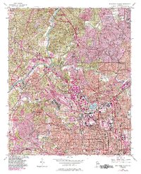
1954 Map of Northwest Atlanta
USGS Topo · Published 1974About this map
The Chattahoochee River carves a dividing line between the developing suburban hills of Vinings and the industrializing districts of Bolton and Riverside on this mid-century survey. The landscape is a study in transition, where old roads like Ferry Road and Peachtree Road are increasingly overshadowed by the growing footprints of the Northwest Expressway and Southwest Expressway. Purple revisions from the early 1970s illustrate the rapid urban expansion near the Georgia Institute of Technology and the core of Five Points, showing where high-density development began to replace older residential blocks. Educational and social foundations are deeply mapped, from the Emory University School of Dentistry and Morris Brown College to localized centers like Turner High School and Margaret Mitchell School. Rail operations remain central to the area's geography, anchored by the massive Bellwood Yard and the corridors of the Seaboard Coast Line Railroad.
Find a feature on this map
87 named features on this map. Tap any name to fly to it.
Don’t see what you’re looking for? This feature index may not catch every label — zoom into the map to look around manually.
Map Details
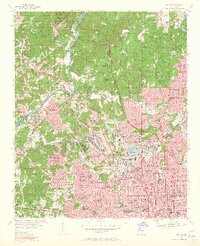
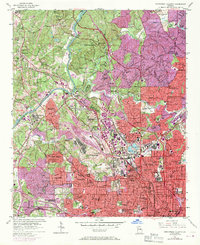
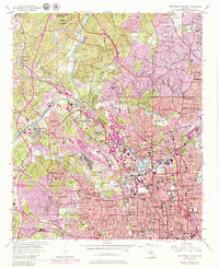
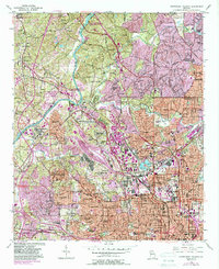
Editions of this 1954 Northwest Atlanta Map
7 editions found

Other maps of this area

1888 · Atlanta
USGS Topo · 1:125,000

1890 · Atlanta
USGS Topo · 1:125,000

1891 · Marietta
USGS Topo · 1:125,000

1892 · Atlanta
USGS Topo · 1:125,000

1895 · Atlanta
USGS Topo · 1:125,000

1895 · Marietta
USGS Topo · 1:125,000

1897 · Marietta
USGS Topo · 1:125,000

1901 · Marietta
USGS Topo · 1:125,000

1953 · Atlanta
USGS Topo · 1:250,000

1954 · Conley
USGS Topo · 1:24,000