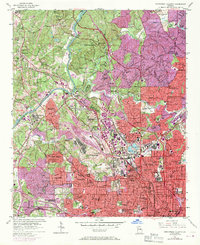
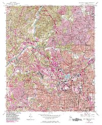
1954 Map of Northwest Atlanta
USGS Topo · Published 1970About this map
The Chattahoochee River defines the western edge of this urban survey, where the burgeoning infrastructure of Northwest Atlanta meets the wooded heights of Mount Wilkinson. In this era of rapid growth, the landscape is a dense network of residential districts and industrial hubs, anchored by the massive rail facilities at Inman Yard and the Bellwood Yard. The map meticulously records the city's academic and social backbone, featuring the Georgia Institute of Technology, Morris Brown College, and Marist College. Large green spaces like Chastain Memorial Park and Piedmont Park provide a counterpoint to the tightly packed street grids of Home Park and Five Points.
Find a feature on this map
135 named features on this map. Tap any name to fly to it.
Don’t see what you’re looking for? This feature index may not catch every label — zoom into the map to look around manually.
Map Details
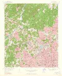
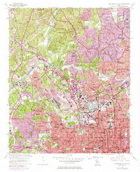
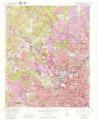
Editions of this 1954 Northwest Atlanta Map
7 editions found

Other maps of this area

1888 · Atlanta
USGS Topo · 1:125,000

1890 · Atlanta
USGS Topo · 1:125,000

1891 · Marietta
USGS Topo · 1:125,000

1892 · Atlanta
USGS Topo · 1:125,000

1895 · Atlanta
USGS Topo · 1:125,000

1895 · Marietta
USGS Topo · 1:125,000

1897 · Marietta
USGS Topo · 1:125,000

1901 · Marietta
USGS Topo · 1:125,000

1953 · Atlanta
USGS Topo · 1:250,000

1954 · Conley
USGS Topo · 1:24,000