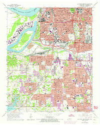
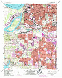
1965 Map of Southwest Memphis
USGS Topo · Published 1974About this map
The industrial and riverine character of Memphis is defined here by the massive curve of the Mississippi River and the engineered landscapes of Presidents Island No 45 and Treasure Island. This mid-century survey captures the city's southward expansion, where established residential areas like Longview Heights and Whitehaven meet a complex network of transportation infrastructure. The massive Johnston Yards and the convergence of the Illinois Central Gulf Railroad and Missouri Pacific lines highlight the region's role as a vital logistics hub.
Find a feature on this map
84 named features on this map. Tap any name to fly to it.
Don’t see what you’re looking for? This feature index may not catch every label — zoom into the map to look around manually.
Map Details
Editions of this 1965 Southwest Memphis Map
5 editions found
Other maps of this area

1908 · Lake Cormorant
USGS Topo · 1:24,000

1912 · Lake Cormorant
USGS Topo · 1:31,680

1916 · Memphis
USGS Topo · 1:62,500

1925 · Memphis
USGS Topo · 1:48,000

1927 · Memphis
USGS Topo · 1:62,500

1932 · Horn Lake
USGS Topo · 1:48,000

1935 · Horn Lake
USGS Topo · 1:62,500

1939 · Memphis
USGS Topo · 1:62,500

1944 · Hernando
USGS Topo · 1:62,500

1948 · Helena
USGS Topo · 1:250,000