2022 Map of Southwest Muskogee
USGS Topo · Published 2022About this map
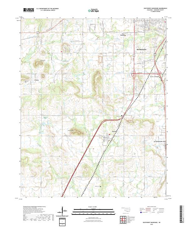
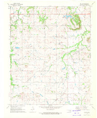
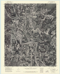
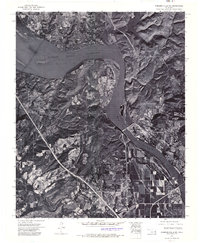
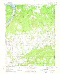
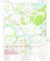
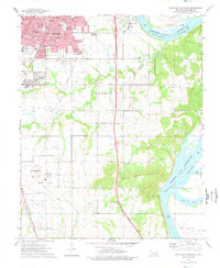
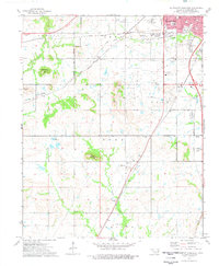
Muskogee expands westward into a landscape of broken ridges and creek valleys, where urban development meets the agricultural outskirts of Muskogee County. The city's residential grid, featuring thoroughfares like Azalea Dr and W Peak Blvd, gives way to the more isolated settlements of West Muskogee and Crekola. Local topography is defined by prominent rises such as Hofschulte Hill and Baucum Hill, providing a clear view of the drainage patterns of Coody Cr and Corta Cr. To the south, the village of Summit sits near the intersection of major transit corridors and smaller landmarks like Chimney Mtn. Genealogists may find value in the presence of established burial grounds, including Plainview Cem and the more remote Minegan Cem, which serve as quiet markers of the area's rural community history amidst the evolving suburban fringe.
Find a feature on this map
49 named features on this map. Tap any name to fly to it.
Don’t see what you’re looking for? This feature index may not catch every label — zoom into the map to look around manually.
Map Details
Editions of this 2022 Southwest Muskogee Map
This is the sole edition of this map. No revisions or reprints were ever made.
Historical Maps of Muskogee Through Time
21 maps found

1905 Muscogee
Muskogee County, OK
1948 Keefeton
Muskogee County, OK
1950 Keefeton
Muskogee County, OK
1963 Holt Mountain
Muskogee County, OK
1971 Beland
Muskogee County, OK
1972 Hulbert SW
Muskogee County, OK

1972 Keefeton NE
Muskogee County, OK
1972 Keefeton SE
Muskogee County, OK
1972 Keefeton SW
Muskogee County, OK
1972 Wagoner SE
Muskogee County, OK
1972 Webbers Falls SW
Muskogee County, OK
1974 Fort Gibson Dam
Muskogee County, OK
1974 Northeast Muskogee
Muskogee County, OK
1974 Southeast Muskogee
Muskogee County, OK
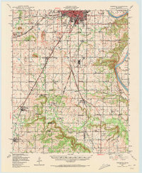
1974 Southwest Muskogee
Muskogee County, OK
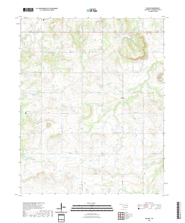
2022 Beland
Muskogee County, OK
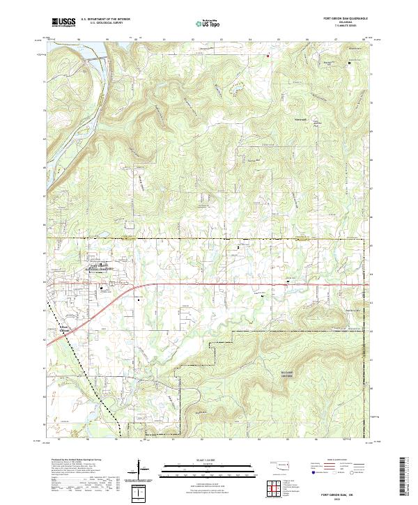
2022 Fort Gibson Dam
Muskogee County, OK
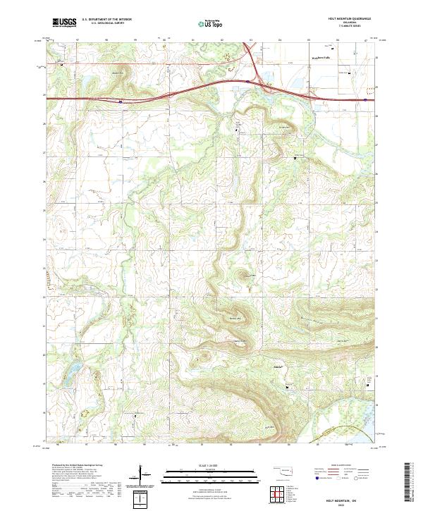
2022 Holt Mountain
Muskogee County, OK
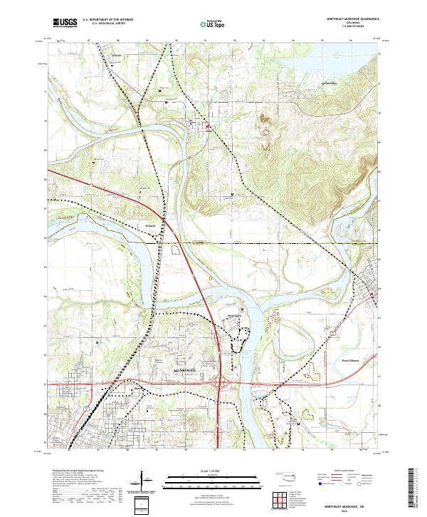
2022 Northeast Muskogee
Muskogee County, OK
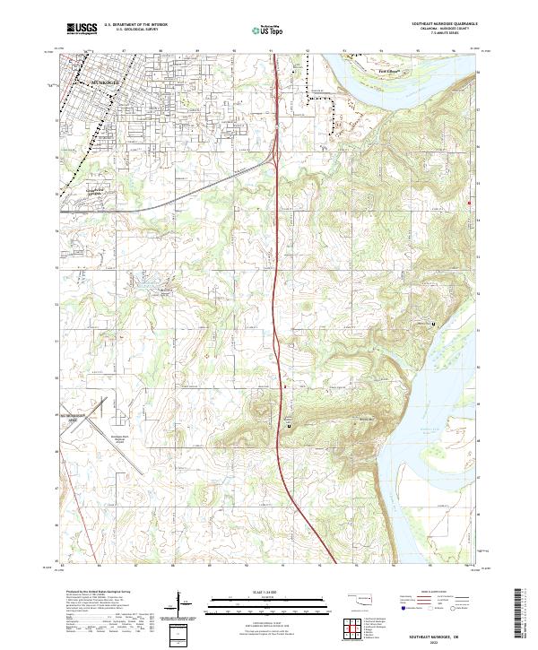
2022 Southeast Muskogee
Muskogee County, OK
2022 Southwest Muskogee
Muskogee County, OK