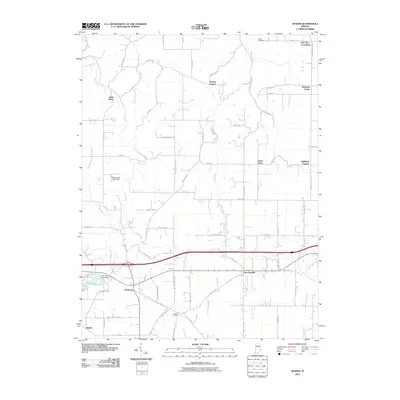
2010 Map of Spades
USGS Topo · Published 2010About this map
Spades and Penntown anchor the southwestern landscape of this rural Indiana quadrangle, where a network of family-named crossroads and small parish settlements defines the local geography. The map illustrates a deeply rooted agricultural community organized around points such as Youngs Corner, Klemmes Corner, and Oak Tree Crossroads. Small ecclesiastical centers like Saint Marys and Saint Peter serve as historical landmarks for researchers tracing parish boundaries and early township growth.
Find a feature on this map
74 named features on this map. Tap any name to fly to it.
Don’t see what you’re looking for? This feature index may not catch every label — zoom into the map to look around manually.
Map Details
Editions of this 2010 Spades Map
This is the sole edition of this map. No revisions or reprints were ever made.
Other maps of this area

1915 · Lawrenceburg
USGS Topo · 1:48,000

1915 · Harrison
USGS Topo · 1:48,000

1928 · Lawrenceburg
USGS Topo · 1:62,500

1932 · Lawrenceburg
USGS Topo · 1:62,500

1943 · Guilford
USGS Topo · 1:24,000

1946 · Pierceville
USGS Topo · 1:24,000

1946 · Batesville
USGS Topo · 1:24,000

1953 · Guilford
USGS Topo · 1:24,000

1953 · Cincinnati
USGS Topo · 1:250,000

1955 · Mount Carmel
USGS Topo · 1:24,000