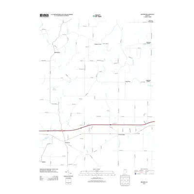
2013 Map of Spades
USGS Topo · Published 2013About this map
Lawrenceville and Penntown anchor the southern reaches of this landscape in the hills of Ripley County, where the terrain is deeply etched by the drainage of Pipe Cr and Blue Cr. The settlement pattern reflects a network of small, scattered communities like Saint Marys, Saint Peter, and Spades, many connected by rural routes bearing family names that speak to the area's agricultural heritage. Small local landmarks like Wayne Kopp Lake and Tall Oaks Lake dot the countryside, while thoroughfares such as Cane Mill Rd and Sawmill Rd hint at the historical industries that once operated along the local branches. In the northern section, crossroads communities such as Oak Tree Crossroads and Klemmes Corner mark the intersections that have served as local hubs for generations, preserving a spatial arrangement of the Indiana countryside as it stood in the early twenty-first century.
Find a feature on this map
96 named features on this map. Tap any name to fly to it.
Don’t see what you’re looking for? This feature index may not catch every label — zoom into the map to look around manually.
Map Details
Editions of this 2013 Spades Map
This is the sole edition of this map. No revisions or reprints were ever made.
Other maps of this area

1915 · Lawrenceburg
USGS Topo · 1:48,000

1915 · Harrison
USGS Topo · 1:48,000

1928 · Lawrenceburg
USGS Topo · 1:62,500

1932 · Lawrenceburg
USGS Topo · 1:62,500

1943 · Guilford
USGS Topo · 1:24,000

1946 · Pierceville
USGS Topo · 1:24,000

1946 · Batesville
USGS Topo · 1:24,000

1953 · Guilford
USGS Topo · 1:24,000

1953 · Cincinnati
USGS Topo · 1:250,000

1955 · Mount Carmel
USGS Topo · 1:24,000