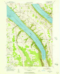
1955 Map of Spafford
USGS Topo · Published 1957About this map
Skaneateles Lake and Otisco Lake dominate this mid-century portrait of Central New York's glacial landscape, where steep ravines and narrow finger lakes dictated the pattern of early upland settlement. The map highlights a series of small, rural communities such as Borodino, Spafford, and Kelloggsville, many of which developed around early industry or lake access. Along the eastern shore of Skaneateles Lake, names like Borodino Landing and Gregory Landing indicate the historical importance of water transport before modern road networks were fully established. A significant portion of the southern terrain is dedicated to the State Reforestation Area, marking a 20th-century shift from marginal hillside farming back to managed woodland. Local industry and social hubs are preserved through labels for the Gamble Mill, North New Hope School, and numerous family cemeteries, providing a clear record of the area's mid-1950s cultural geography.
Find a feature on this map
87 named features on this map. Tap any name to fly to it.
Don’t see what you’re looking for? This feature index may not catch every label — zoom into the map to look around manually.
Map Details
Editions of this 1955 Spafford Map
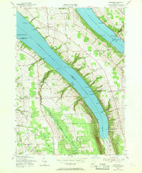
2 editions found
Other maps of this area

1898 · Moravia
USGS Topo · 1:62,500

1899 · Skaneateles
USGS Topo · 1:62,500

1900 · Tully
USGS Topo · 1:62,500

1902 · Skaneateles
USGS Topo · 1:62,500

1902 · Moravia
USGS Topo · 1:62,500

1903 · Cortland
USGS Topo · 1:62,500

1943 · South Onondaga
USGS Topo · 1:31,680

1943 · Moravia
USGS Topo · 1:31,680

1943 · Spafford
USGS Topo · 1:31,680

1943 · Owasco
USGS Topo · 1:31,680