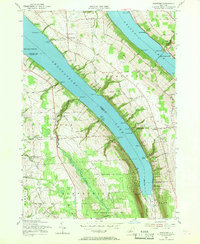
1955 Map of Spafford
USGS Topo · Published 1968About this map
Skaneateles Lake and Otisco Lake dominate this mid-century view of Central New York, where steep hillsides meet narrow shorelines marked by numerous points and landings. The settlement pattern reflects an agricultural and lakeside economy, with small hamlets like Borodino, Spafford, and New Hope serving as local hubs. These communities are anchored by institutional markers like School No 8 and Spafford Cemetery. Along the eastern shore of Otisco Lake, Gamble Mill and Williams Grove indicate historic industrial and recreational sites. Further south, the landscape shifts toward the State Reforestation Area, where the terrain steepens around Bear Swamp Creek. Traces of the region's natural beauty are preserved at Carpenter Falls and Glen Cove, while various named points like Stag Horn Point and Threemile Point define the jagged coastline of the Finger Lakes.
Find a feature on this map
75 named features on this map. Tap any name to fly to it.
Don’t see what you’re looking for? This feature index may not catch every label — zoom into the map to look around manually.
Map Details
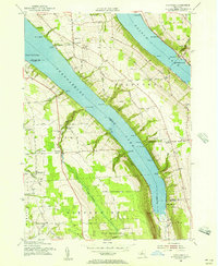
Editions of this 1955 Spafford Map
2 editions found
Other maps of this area

1898 · Moravia
USGS Topo · 1:62,500

1899 · Skaneateles
USGS Topo · 1:62,500

1900 · Tully
USGS Topo · 1:62,500

1902 · Skaneateles
USGS Topo · 1:62,500

1902 · Moravia
USGS Topo · 1:62,500

1903 · Cortland
USGS Topo · 1:62,500

1943 · South Onondaga
USGS Topo · 1:31,680

1943 · Moravia
USGS Topo · 1:31,680

1943 · Spafford
USGS Topo · 1:31,680

1943 · Owasco
USGS Topo · 1:31,680