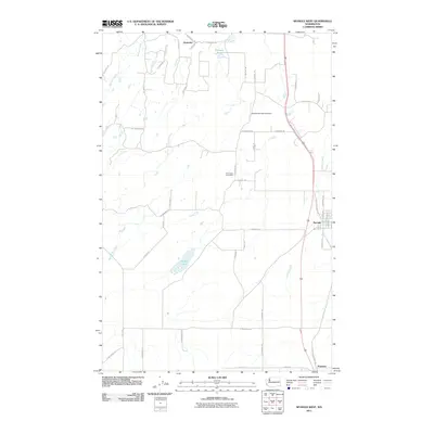
2011 Map of Spangle West
USGS Topo · Published 2011About this map
Spangle serves as the primary hub in this portion of Spokane County, situated where the terrain transitions toward the Palouse. The town's grid is clearly defined near the eastern edge of the survey, where Spangle Creek meanders past the residential blocks. Moving west, the landscape is defined by a network of rural roads such as W Cameron Rd and S Mill Rd, connecting remote settlements and local landmarks. Notable among these is the Pine Grove Post Office, a key point for the surrounding agricultural community.
Find a feature on this map
47 named features on this map. Tap any name to fly to it.
Don’t see what you’re looking for? This feature index may not catch every label — zoom into the map to look around manually.
Map Details
Editions of this 2011 Spangle West Map
This is the sole edition of this map. No revisions or reprints were ever made.
Other maps of this area

1901 · Spokane
USGS Topo · 1:125,000

1903 · Oakesdale
USGS Topo · 1:125,000

1905 · Oakesdale
USGS Topo · 1:125,000

1943 · Medical Lake
USGS Topo · 1:62,500

1950 · Spokane SE
USGS Topo · 1:24,000

1950 · Spokane SW
USGS Topo · 1:24,000

1950 · Spokane
USGS Topo · 1:62,500

1954 · Medical Lake
USGS Topo · 1:62,500

1954 · Cheney
USGS Topo · 1:62,500

1954 · Spangle
USGS Topo · 1:62,500