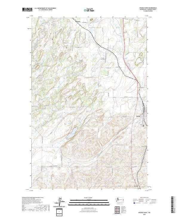
2023 Map of Spangle West
USGS Topo · Published 2023About this map
Spangle serves as the primary population hub in this modern study of the Washington landscape south of Spokane. The map records the local infrastructure of the rural Palouse transition, featuring specialized sites like Paradise Air Ranch and Spangle Field alongside the historic Spangle Cem. Small settlements like Dynamite to the north and Freedom at the southern edge anchor the road network, while agricultural and residential development is evidenced by numerous named lanes such as S Aspen Meadows Dr and S Scottie Dog Ln.
Find a feature on this map
66 named features on this map. Tap any name to fly to it.
Don’t see what you’re looking for? This feature index may not catch every label — zoom into the map to look around manually.
Map Details
Editions of this 2023 Spangle West Map
This is the sole edition of this map. No revisions or reprints were ever made.
Other maps of this area

1901 · Spokane
USGS Topo · 1:125,000

1903 · Oakesdale
USGS Topo · 1:125,000

1905 · Oakesdale
USGS Topo · 1:125,000

1943 · Medical Lake
USGS Topo · 1:62,500

1950 · Spokane SE
USGS Topo · 1:24,000

1950 · Spokane SW
USGS Topo · 1:24,000

1950 · Spokane
USGS Topo · 1:62,500

1954 · Medical Lake
USGS Topo · 1:62,500

1954 · Cheney
USGS Topo · 1:62,500

1954 · Spangle
USGS Topo · 1:62,500