
1948 Map of Spanish Fork
USGS Topo · Published 1956About this map
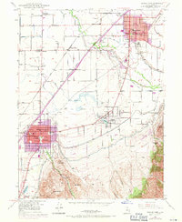
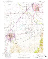
Spanish Fork and Payson serve as the primary hubs in this late-1940s landscape, illustrating the deep connection between agricultural infrastructure and industrial growth in Utah County. The era's economic life is traced through features like the Sugar Refinery near Leland and the Packing Sheds along the Utah Railway, while the presence of the Dream Mine and Leader Mine (Inactive) in the eastern foothills of the Wasatch Range points to the region's mining history.
Find a feature on this map
61 named features on this map. Tap any name to fly to it.
Don’t see what you’re looking for? This feature index may not catch every label — zoom into the map to look around manually.
Map Details
Editions of this 1948 Spanish Fork Map
3 editions found
Other maps of this area

1885 · Salt Lake
USGS Topo · 1:250,000

1885 · Manti
USGS Topo · 1:250,000

1895 · Manti
USGS Topo · 1:250,000

1948 · Springville
USGS Topo · 1:24,000

1948 · Provo
USGS Topo · 1:24,000

1949 · Provo
USGS Topo · 1:62,500

1949 · Spanish Fork Peak
USGS Topo · 1:24,000

1950 · Provo
USGS Topo · 1:24,000
1950 · Springville
USGS Topo · 1:24,000

1950 · Spanish Fork
USGS Topo · 1:24,000