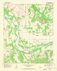
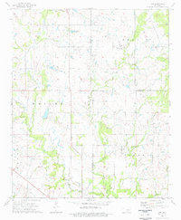
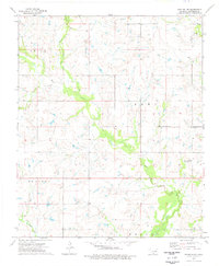
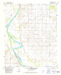
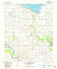
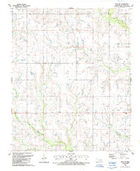
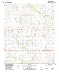
1968 Map of Spanish Fort
USGS Topo · Published 1971This historical map portrays the area of Spanish Fort in 1968, primarily covering Jefferson County as well as portions of Jefferson County and Texas. Featuring a scale of 1:24000, this map provides a highly detailed snapshot of the terrain, roads, buildings, counties, and historical landmarks in the Spanish Fort region at the time. Published in 1971, it is one of 2 known editions of this map due to revisions or reprints.
Find a feature on this map
37 named features on this map. Tap any name to fly to it.
Don’t see what you’re looking for? This feature index may not catch every label — zoom into the map to look around manually.
Map Details
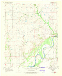
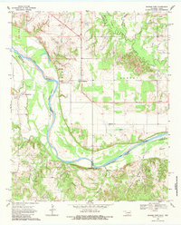
Editions of this 1968 Spanish Fort Map
2 editions found
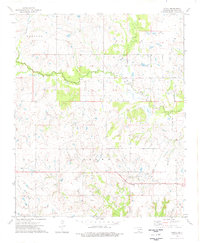
Historical Maps of Montague County Through Time
10 maps found
1968 Fleetwood
Jefferson County, OK
1968 Spanish Fort
Jefferson County, OK
1974 Grady
Jefferson County, OK
1974 Orr
Jefferson County, OK
1974 Ringling NW
Jefferson County, OK
1984 Irving
Jefferson County, OK
1984 Waurika West
Jefferson County, OK
1987 Ryan NE
Jefferson County, OK
1987 Ryan SE
Jefferson County, OK
1987 Waurika East
Jefferson County, OK