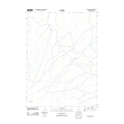
2012 Map of Spanish Mine
USGS Topo · Published 2012About this map
Ferris Mountains dominate the southern edge of this high-altitude landscape in Carbon County, where drainage systems define the movement across the terrain. The central portion of the sheet is marked by the wide, level expanse of Arkansas Flats, a feature that likely served as a primary grazing area or travel corridor in this part of Wyoming. To the north, the topography narrows into Pole Canyon, while the remainder of the area is carved by a network of seasonal watercourses including Arkansas Cr and its tributary E Arkansas Cr. A singular roadway, Co RD 499, provides the primary access through these flats, connecting the various creek basins such as Rush Cr and Pete Cr. The map illustrates a high-desert environment where water remains the most significant landmark for anyone navigating the range.
Find a feature on this map
8 named features on this map. Tap any name to fly to it.
Don’t see what you’re looking for? This feature index may not catch every label — zoom into the map to look around manually.
Map Details
Editions of this 2012 Spanish Mine Map
This is the sole edition of this map. No revisions or reprints were ever made.
Other maps of this area

1951 · Savage Peak
USGS Topo · 1:24,000

1951 · Independence Rock
USGS Topo · 1:24,000

1951 · Fort Ridge
USGS Topo · 1:24,000

1953 · Bradley Peak
USGS Topo · 1:24,000

1953 · Ferris
USGS Topo · 1:24,000

1953 · Buzzard Ranch
USGS Topo · 1:24,000

1953 · Spanish Mine
USGS Topo · 1:24,000

1955 · Casper
USGS Topo · 1:250,000

1958 · Casper
USGS Topo · 1:250,000

1961 · Lamont NE
USGS Topo · 1:24,000