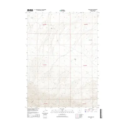
2015 Map of Spanish Mine
USGS Topo · Published 2015About this map
The Spanish Mine is situated in the southern reaches of this Carbon County landscape, nestled along the northern slopes of the Ferris Mountains. This high-desert terrain is defined by its drainage systems and distinct geographic depressions, including the broad Arkansas Basin and the adjacent Arkansas Flats. These features illustrate the complex water management and topographic challenges of central Wyoming, where seasonal flows from Rush Cr and Arkansas Cr carve through the arid plains. The presence of Pole Canyon further emphasizes the elevation changes between the mountain range and the valley floor. Historically, the area represents a intersection of resource extraction and rugged ranching territory, with CR-499 providing the primary transit route through the foothills. The map provides a detailed view of the township and range divisions, such as t27n r86w, which structured the land claims of early settlers and mining interests.
Find a feature on this map
15 named features on this map. Tap any name to fly to it.
Don’t see what you’re looking for? This feature index may not catch every label — zoom into the map to look around manually.
Map Details
Editions of this 2015 Spanish Mine Map
This is the sole edition of this map. No revisions or reprints were ever made.
Other maps of this area

1951 · Savage Peak
USGS Topo · 1:24,000

1951 · Independence Rock
USGS Topo · 1:24,000

1951 · Fort Ridge
USGS Topo · 1:24,000

1953 · Bradley Peak
USGS Topo · 1:24,000

1953 · Ferris
USGS Topo · 1:24,000

1953 · Buzzard Ranch
USGS Topo · 1:24,000

1953 · Spanish Mine
USGS Topo · 1:24,000

1955 · Casper
USGS Topo · 1:250,000

1958 · Casper
USGS Topo · 1:250,000

1961 · Lamont NE
USGS Topo · 1:24,000