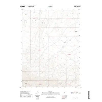
2017 Map of Spanish Mine
USGS Topo · Published 2017About this map
The Spanish Mine is situated in the southern reaches of this landscape, positioned where the high elevation of the Ferris Mountains begins to descend into the drainage basins of central Wyoming. This mid-2010s survey reveals a territory defined by complex topography and seasonal hydrology, where several watercourses, including Pete Cr and Rush Cr, flow northward from the mountain range.
Find a feature on this map
17 named features on this map. Tap any name to fly to it.
Don’t see what you’re looking for? This feature index may not catch every label — zoom into the map to look around manually.
Map Details
Editions of this 2017 Spanish Mine Map
This is the sole edition of this map. No revisions or reprints were ever made.
Other maps of this area

1951 · Savage Peak
USGS Topo · 1:24,000

1951 · Independence Rock
USGS Topo · 1:24,000

1951 · Fort Ridge
USGS Topo · 1:24,000

1953 · Bradley Peak
USGS Topo · 1:24,000

1953 · Ferris
USGS Topo · 1:24,000

1953 · Buzzard Ranch
USGS Topo · 1:24,000

1953 · Spanish Mine
USGS Topo · 1:24,000

1955 · Casper
USGS Topo · 1:250,000

1958 · Casper
USGS Topo · 1:250,000

1961 · Lamont NE
USGS Topo · 1:24,000