
1897 Map of Spanish Peaks
USGS Topo · Published 1897About this map
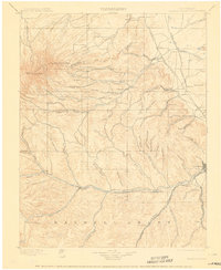
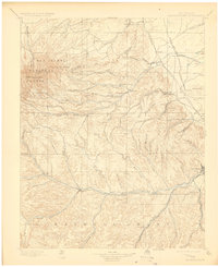
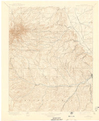
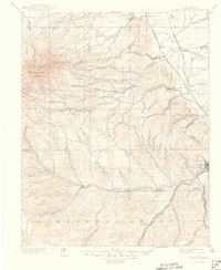
The East Spanish Peak and West Spanish Peak dominate the northwestern horizon of this southern Colorado landscape, where the high mountains descend into a complex network of canyons and coal-mining settlements. Surveyed in the mid-1890s, the map reveals a region defined by its narrow-gauge and standard-gauge rail lines, including the Denver and Rio Grande R.R. Trinidad Line and the Union Pacific Denver and Gulf R.R., which served the burgeoning industrial corridor between Trinidad and Aguilar.
Find a feature on this map
85 named features on this map. Tap any name to fly to it.
Don’t see what you’re looking for? This feature index may not catch every label — zoom into the map to look around manually.
Map Details
Editions of this 1897 Spanish Peaks Map
5 editions found
Other maps of this area

1889 · Huerfano Park
USGS Topo · 1:125,000

1891 · Walsenburg
USGS Topo · 1:125,000

1891 · Spanish Peaks
USGS Topo · 1:125,000

1891 · Apishapa
USGS Topo · 1:125,000

1892 · Huerfano Park
USGS Topo · 1:125,000

1892 · Elmoro
USGS Topo · 1:125,000

1893 · Spanish Peaks
USGS Topo · 1:125,000

1893 · Apishapa
USGS Topo · 1:125,000

1893 · Elmoro
USGS Topo · 1:125,000

1894 · Walsenburg
USGS Topo · 1:125,000