2023 Map of Sparta
USGS Topo · Published 2023About this map
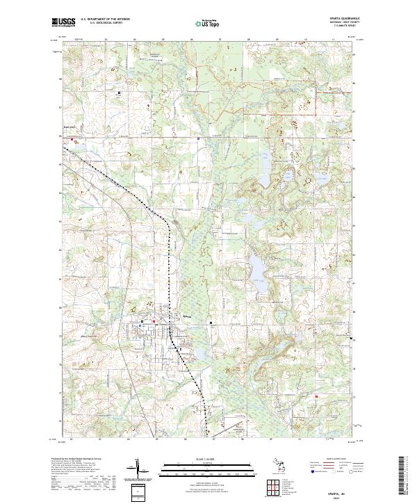
Sparta and Kent City anchor this portion of Kent County, appearing as well-established hubs within a landscape defined by an extensive grid of numbered mile roads and diverse water systems. The Rogue River meanders through the central and southern sections, joined by numerous tributaries including Nash Creek and Ball Creek. The area is notably dense with small inland lakes such as Camp Lake, Olin Lakes, and Long Lake, suggesting a terrain shaped by glacial activity that has long supported local recreation and residential clusters outside the primary village centers.
Find a feature on this map
54 named features on this map. Tap any name to fly to it.
Don’t see what you’re looking for? This feature index may not catch every label — zoom into the map to look around manually.
Map Details
Editions of this 2023 Sparta Map
This is the sole edition of this map. No revisions or reprints were ever made.
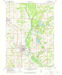
Historical Maps of Kent City Through Time
Featured Locations
- Algoma Township, MI
- Sparta Township, MI
- Tyrone Township, MI
- Sparta, Sparta Township
- Kent City, Tyrone Township