
1909 Map of Sparta
USGS Topo · Published 1909About this map
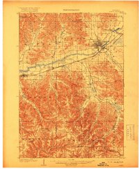
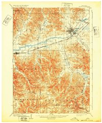
Sparta serves as the regional hub at the confluence of Silver Creek and the La Crosse River, where the landscape transitions from broad river valleys into a complex network of coulees and ridges. This 1905–1907 survey reveals a transportation-heavy corridor, with the Chicago and Northwestern and Chicago Milwaukee and St Paul railroads following the river's course through Rockland and Bangor. The map illustrates the era’s rural settlement patterns, from established towns like Leon and Melvina to remote ridge-top hamlets such as Middle Ridge and Newberg Corners. Deeply incised drainages like Tamarack Coulee and Norwegian Coulee define the topography west of the La Crosse Co Monroe Co boundary. Significant landmarks, including the prominent Castle Rock and Balls Bluff, provide vertical context to the agricultural valleys of Farmers Valley and Leon Valley.
Find a feature on this map
44 named features on this map. Tap any name to fly to it.
Don’t see what you’re looking for? This feature index may not catch every label — zoom into the map to look around manually.
Map Details
Editions of this 1909 Sparta Map
3 editions found
Other maps of this area

1916 · Tomah
USGS Topo · 1:62,500

1923 · Viroqua
USGS Topo · 1:62,500

1926 · Stoddard
USGS Topo · 1:62,500

1926 · Viroqua
USGS Topo · 1:62,500

1926 · La Farge
USGS Topo · 1:62,500

1926 · North Bend
USGS Topo · 1:62,500

1927 · La Crosse
USGS Topo · 1:62,500

1928 · Melrose
USGS Topo · 1:48,000

1929 · North Bend
USGS Topo · 1:62,500

1930 · La Crosse
USGS Topo · 1:62,500