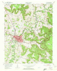
1954 Map of Sparta
USGS Topo · Published 1972About this map
The Calfkiller River meanders sharply through the center of this mid-century portrait of White County, anchoring the commercial and civic life of Sparta. As the county seat, the town is densely detailed with its Courthouse, Armory, and multiple educational centers including West Sch and East Sch. The surrounding landscape is defined by its coves and ridges, where rural life is mapped through a network of small churches and family burial grounds like Snodgrass Cem and the Old Blue Spring Cem.
Find a feature on this map
58 named features on this map. Tap any name to fly to it.
Don’t see what you’re looking for? This feature index may not catch every label — zoom into the map to look around manually.
Map Details
Editions of this 1954 Sparta Map
3 editions found

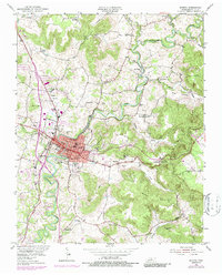
Other maps of this area

1892 · Pikeville
USGS Topo · 1:125,000

1893 · Mc Minnville
USGS Topo · 1:125,000

1895 · Mc Minnville
USGS Topo · 1:125,000

1895 · Pikeville
USGS Topo · 1:125,000

1897 · Standingstone
USGS Topo · 1:125,000

1898 · Standingstone
USGS Topo · 1:125,000

1943 · Cookeville
USGS Topo · 1:100,000

1944 · Cookeville
USGS Topo · 1:100,000

1953 · Chattanooga
USGS Topo · 1:250,000

1954 · De Rossett
USGS Topo · 1:24,000