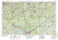
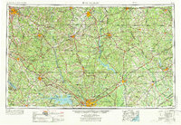
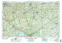
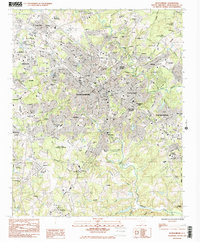
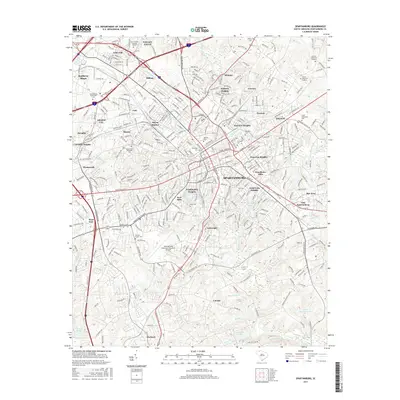
1953 Map of Spartanburg
USGS Topo · Published 1973About this map
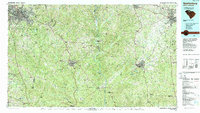
The Catawba River and Broad River drainage basins define the Piedmont landscape of the Carolinas in this mid-century survey. Extending from the industrial hub of Spartanburg southeast to the state capital of Columbia, the sheet captures the regional transition from rolling foothills to the Carolina Sandhills. The rail-dominated infrastructure is clearly visible through the networks of the Southern Railway and the Seaboard Coast Line Railroad, which connect manufacturing centers like Rock Hill and Chester with smaller agricultural junctions.
Find a feature on this map
184 named features on this map. Tap any name to fly to it.
Don’t see what you’re looking for? This feature index may not catch every label — zoom into the map to look around manually.
Map Details
Editions of this 1953 Spartanburg Map
4 editions found

Historical Maps of Columbia Through Time
15 maps found

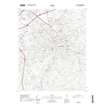
1941 Spartanburg
Spartanburg County, SC

1947 Spartanburg
Spartanburg County, SC

1949 Spartanburg
Spartanburg County, SC
1949 Spartanburg
Spartanburg County, SC
1953 Spartanburg
Spartanburg County, SC

1960 Spartanburg
Spartanburg County, SC

1963 Spartanburg
Spartanburg County, SC

1964 Spartanburg
Spartanburg County, SC
1983 Spartanburg
Spartanburg County, SC
1986 Spartanburg
Spartanburg County, SC
2011 Spartanburg
Spartanburg County, SC
2014 Spartanburg
Spartanburg County, SC
2017 Spartanburg
Spartanburg County, SC
2020 Spartanburg
Spartanburg County, SC
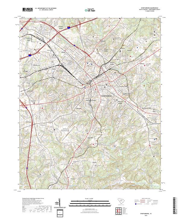
2024 Spartanburg
Spartanburg County, SC