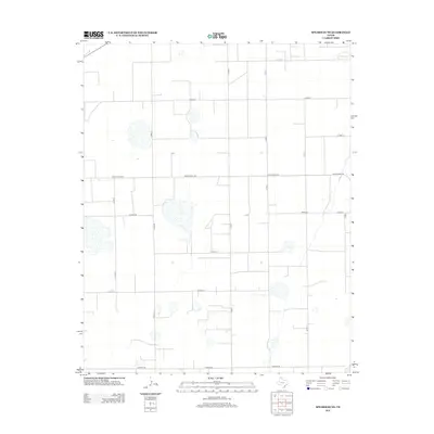
2012 Map of Spearman NE
USGS Topo · Published 2012About this map
The High Plains of Ochiltree County are defined here by a rigid, mile-square grid of section lines and gravel roads, reflecting the systematic land division of the Texas Panhandle. This agricultural landscape is punctuated by numerous seasonal playas and depressions that interrupt the otherwise uniform fields. While the area is dominated by farming and ranching, local history is rooted in specific points of interest like the Black Cem located near the intersection of Co Rd-4 and Co Rd W.
Find a feature on this map
16 named features on this map. Tap any name to fly to it.
Don’t see what you’re looking for? This feature index may not catch every label — zoom into the map to look around manually.
Map Details
Editions of this 2012 Spearman NE Map
This is the sole edition of this map. No revisions or reprints were ever made.
Other maps of this area

1954 · Perryton
USGS Topo · 1:250,000

1958 · Perryton
USGS Topo · 1:250,000

1962 · Waka SW
USGS Topo · 1:24,000

1962 · Spearman
USGS Topo · 1:24,000

1973 · Farnsworth
USGS Topo · 1:24,000

1973 · Waka
USGS Topo · 1:24,000

1973 · Sourdough Creek SW
USGS Topo · 1:24,000

1973 · Spearman NE
USGS Topo · 1:24,000

1973 · Sourdough Creek NW
USGS Topo · 1:24,000

1973 · Spearman SE
USGS Topo · 1:24,000