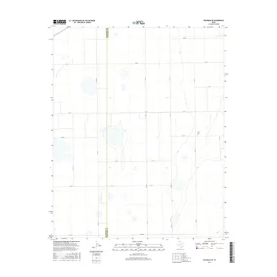
2016 Map of Spearman NE
USGS Topo · Published 2016About this map
The high plains along the border of Hansford Co and Ochiltree Co are defined by an expansive grid of rural roads and scattered wetland depressions. This landscape reflects the agricultural character of the Texas Panhandle, where transport depends on a network of routes such as FM 759 and Co Rd 30. A significant point of interest for genealogists and local historians is Black Cem, a lonely landmark situated in the eastern half of the quadrangle. The map captures the subtle hydrology of the region, showing numerous small basins and playas that punctuate the level terrain between long stretches of county roads like Co Rd S and Co Rd AA.
Find a feature on this map
16 named features on this map. Tap any name to fly to it.
Don’t see what you’re looking for? This feature index may not catch every label — zoom into the map to look around manually.
Map Details
Editions of this 2016 Spearman NE Map
This is the sole edition of this map. No revisions or reprints were ever made.
Other maps of this area

1954 · Perryton
USGS Topo · 1:250,000

1958 · Perryton
USGS Topo · 1:250,000

1962 · Waka SW
USGS Topo · 1:24,000

1962 · Spearman
USGS Topo · 1:24,000

1973 · Farnsworth
USGS Topo · 1:24,000

1973 · Waka
USGS Topo · 1:24,000

1973 · Sourdough Creek SW
USGS Topo · 1:24,000

1973 · Spearman NE
USGS Topo · 1:24,000

1973 · Sourdough Creek NW
USGS Topo · 1:24,000

1973 · Spearman SE
USGS Topo · 1:24,000