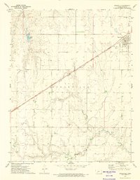
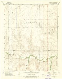
1972 Map of Spearville
USGS Topo · Published 1974About this map
Spearville serves as the primary hub on this central Kansas plains landscape, centered along the critical corridor of the Atchison Topeka and Santa Fe railroad. The town's layout reflects a classic grain-and-rail economy, with agricultural infrastructure and local landmarks like St Johns Cem and Silent Land Cem established on the outskirts. To the south, the terrain is bisected by the Old Indian Treaty Boundary, an artifact of nineteenth-century land management that still influenced property lines and surveying at the time of this 1970s study. The hydrology is defined by the winding course of Coon Creek and the localized depression of Hains Lake, while the presence of numerous wells across the township highlights the area's reliance on groundwater for both domestic use and ranching operations. Smaller aviation infrastructure is also noted at the Shehan Landing Strip, emphasizing the vast distances of the high plains.
Find a feature on this map
13 named features on this map. Tap any name to fly to it.
Don’t see what you’re looking for? This feature index may not catch every label — zoom into the map to look around manually.
Map Details
Editions of this 1972 Spearville Map
2 editions found
Other maps of this area

1892 · Spearville
USGS Topo · 1:125,000

1894 · Spearville
USGS Topo · 1:125,000

1955 · Pratt
USGS Topo · 1:250,000

1959 · Pratt
USGS Topo · 1:250,000

1969 · Fort Dodge
USGS Topo · 1:24,000

1969 · Bucklin NW
USGS Topo · 1:24,000

1969 · Ford
USGS Topo · 1:24,000
1972 · Bellefont
USGS Topo · 1:24,000
1972 · Wright
USGS Topo · 1:24,000
1972 · Spearville NW
USGS Topo · 1:24,000