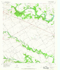
1957 Map of Speegleville
USGS Topo · Published 1968About this map
The confluence of the South Bosque River, Middle Bosque River, and Hog Creek defines this Central Texas landscape shortly before the expansion of Lake Waco. This 1950s survey captures a rural landscape transitioning toward petroleum and recreation, evidenced by the Bosque Oil Field and the Val Verde (Waco Baptist Encampment). The map preserves the locations of several small agrarian settlements and crossroads, including Ocee, Willow Grove, and Highland, along with numerous family and community landmarks like Speegleville Cem and the Shiloh Ch. Natural river crossings like Eichelberger Crossing and Flat Rock Crossing reflect an era when local travel was still dictated by the winding path of the Bosque River. The presence of scattered Gravel Pits and Oil Wells illustrates the mid-century industrial footprint on these Texas plains.
Find a feature on this map
30 named features on this map. Tap any name to fly to it.
Don’t see what you’re looking for? This feature index may not catch every label — zoom into the map to look around manually.
Map Details
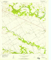
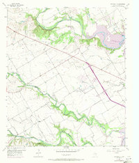
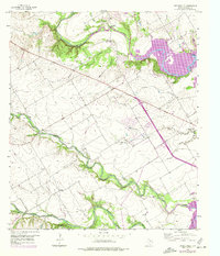
Editions of this 1957 Speegleville Map
4 editions found
Other maps of this area

1892 · Temple
USGS Topo · 1:125,000

1892 · Waco
USGS Topo · 1:125,000

1920 · Waco
USGS Topo · 1:125,000

1924 · Waco 4-c
USGS Topo · 1:48,000

1924 · Waco 3-d
USGS Topo · 1:48,000

1931 · Valley Mills
USGS Topo · 1:62,500

1931 · Elm Mott
USGS Topo · 1:62,500

1931 · Mc Gregor
USGS Topo · 1:62,500

1954 · Waco
USGS Topo · 1:250,000

1955 · Waco
USGS Topo · 1:250,000