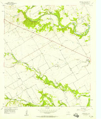
1957 Map of Speegleville
USGS Topo · Published 1957About this map
Bosque River and its southern fork wind through the heart of McLennan County in the late 1950s, defining a landscape marked by both agricultural tradition and emerging industry. The South Bosque Oil Field is a prominent feature of the terrain, interspersed with Numerous Oil Wells and a large Pipeline cutting across the countryside. Small rural clusters like Speegleville and Willow Grove serve as local anchors, while family-history details are preserved in sites such as Evergreen Cem and Mc Lennan Cem.
Find a feature on this map
26 named features on this map. Tap any name to fly to it.
Don’t see what you’re looking for? This feature index may not catch every label — zoom into the map to look around manually.
Map Details
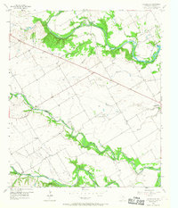
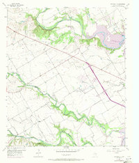
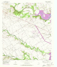
Editions of this 1957 Speegleville Map
4 editions found
Other maps of this area

1892 · Temple
USGS Topo · 1:125,000

1892 · Waco
USGS Topo · 1:125,000

1920 · Waco
USGS Topo · 1:125,000

1924 · Waco 4-c
USGS Topo · 1:48,000

1924 · Waco 3-d
USGS Topo · 1:48,000

1931 · Valley Mills
USGS Topo · 1:62,500

1931 · Elm Mott
USGS Topo · 1:62,500

1931 · Mc Gregor
USGS Topo · 1:62,500

1954 · Waco
USGS Topo · 1:250,000

1955 · Waco
USGS Topo · 1:250,000