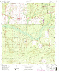
1973 Map of Spencer Flats
USGS Topo · Published 1988About this map
Eglin Air Force Base occupies a significant portion of this landscape, where the military reservation boundary meets the local terrain of Spencer Flats. The area is defined by a complex drainage network featuring Titi Creek, Dog Creek, and Bull Creek, which thread through the lowlands between the small settlements of Deerland and Forest Highlands. The presence of the CSX Railroad and Route 90 in the north highlights the transport corridor that sustained the local economy, alongside numerous sandpits and claypits that point to the region's extractive history. In the southern reaches, landmarks like the Ramer Lookout Tower and clear water features such as Blue Spring and Kemmons Pond provide specific points of interest for those studying the physical development and land use of Okaloosa County during the mid-1970s.
Find a feature on this map
33 named features on this map. Tap any name to fly to it.
Don’t see what you’re looking for? This feature index may not catch every label — zoom into the map to look around manually.
Map Details
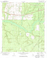
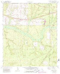
Editions of this 1973 Spencer Flats Map
3 editions found
Other maps of this area

1934 · Holt
USGS Topo · 1:48,000

1934 · Niceville
USGS Topo · 1:48,000

1936 · Niceville
USGS Topo · 1:62,500

1937 · Holt
USGS Topo · 1:62,500

1949 · Crestview
USGS Topo · 1:62,500

1949 · Laurel Hill
USGS Topo · 1:62,500

1950 · Laurel Hill
USGS Topo · 1:62,500

1951 · Crestview
USGS Topo · 1:62,500

1956 · Niceville
USGS Topo · 1:62,500

1956 · Holt
USGS Topo · 1:62,500