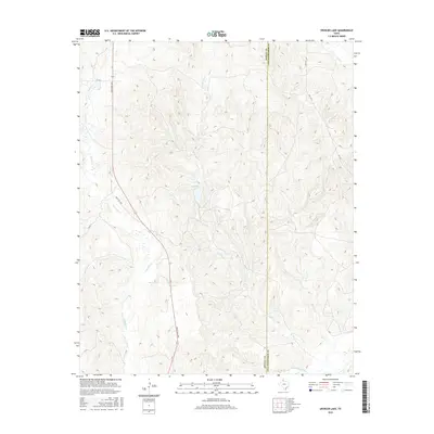
2016 Map of Spencer Lake
USGS Topo · Published 2016About this map
Spencer Lake sits at the heart of this landscape along the border of Donley and Collingsworth Counties, where the high plains of the Texas Panhandle give way to a network of seasonal drainages. The topography is defined by the erosion of the Caprock, with deep-cut watercourses like Little Gyp Cr and Whitefish Cr carving through the terrain toward the southern boundary. This 2016 survey shows a territory primarily utilized for ranching and large-scale agriculture, connected by a sparse grid of rural infrastructure including Ranch Rd 2695 and FM 3143. The southern edge of the map is dominated by the wide, sandy bed of the Salt Fork Red River, a significant geographic marker for the region. Minor tributaries such as Skillet Cr, Gyp Cr, and Wills Cr reveal the intricate drainage patterns that have shaped this portion of the Texas frontier.
Find a feature on this map
13 named features on this map. Tap any name to fly to it.
Don’t see what you’re looking for? This feature index may not catch every label — zoom into the map to look around manually.
Map Details
Editions of this 2016 Spencer Lake Map
This is the sole edition of this map. No revisions or reprints were ever made.
Other maps of this area

1954 · Amarillo
USGS Topo · 1:250,000

1954 · Plainview
USGS Topo · 1:250,000

1958 · Amarillo
USGS Topo · 1:250,000

1958 · Plainview
USGS Topo · 1:250,000

1959 · Lelia Lake Creek
USGS Topo · 1:24,000

1959 · Troublesome Creek
USGS Topo · 1:24,000

1959 · Spencer Lake
USGS Topo · 1:24,000

1959 · McKnight
USGS Topo · 1:24,000

1963 · Alanreed
USGS Topo · 1:24,000

1963 · Ramsdell
USGS Topo · 1:24,000