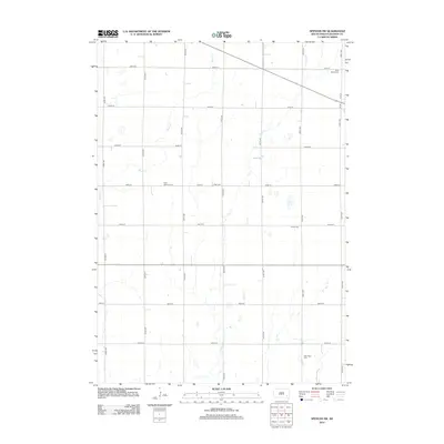
2012 Map of Spencer SW
USGS Topo · Published 2012About this map
Saint Martins Cem and several other burial grounds anchor this landscape of the South Dakota plains, documenting the generational lineage of local farming families. The terrain is defined by the subtle drainage patterns of Bloom Cr, Plum Cr, and Elm Cr, which cut through a strictly ordered grid of section-line roads. This network, including routes like 260th St and 429th Ave, reflects the enduring Homestead-era land division that organized the state's agricultural interior. For genealogists and local historians, the proximity of Saint Martin Cem, Elfert Cem, Emery Cem, and New Hope Cem within a single township-scale area suggests a diverse community of early prairie congregations that maintained distinct identity even as the rural population shifted.
Find a feature on this map
23 named features on this map. Tap any name to fly to it.
Don’t see what you’re looking for? This feature index may not catch every label — zoom into the map to look around manually.
Map Details
Editions of this 2012 Spencer SW Map
This is the sole edition of this map. No revisions or reprints were ever made.
Other maps of this area

1898 · Olivet
USGS Topo · 1:125,000

1899 · Alexandria
USGS Topo · 1:125,000

1955 · Sioux Falls
USGS Topo · 1:250,000

1957 · Alexandria
USGS Topo · 1:24,000

1957 · Milltown
USGS Topo · 1:24,000

1957 · Clayton
USGS Topo · 1:24,000

1957 · Rockport Colony
USGS Topo · 1:24,000

1958 · Sioux Falls
USGS Topo · 1:250,000

1970 · Clayton NE
USGS Topo · 1:24,000

1973 · Spencer SW
USGS Topo · 1:24,000