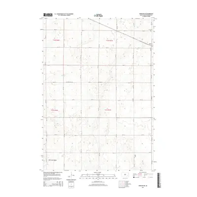
2015 Map of Spencer SW
USGS Topo · Published 2015About this map
Oak Lane Colony and the western edge of Emery anchor this agrarian landscape in Hanson County, where a strictly regulated grid of section lines and avenues defines the rural South Dakota prairie. The map records several important local landmarks for genealogical research, including Saint Martins Cem and Saint Martin Cem near the northern boundary, along with the Elfert Cem, Emery Cem, and New Hope Cem. These sites of burial and gathering are often the most enduring physical remnants of the region's homesteading history. Drainage patterns for the local agriculture are established by the winding paths of Bloom Cr, Plum Cr, and Elm Cr, which break the geometric precision of the township roads. This 2015 survey reflects the enduring character of a landscape shaped by the Public Land Survey System, where townships like t102n r57w maintain their historic rural footprints.
Find a feature on this map
29 named features on this map. Tap any name to fly to it.
Don’t see what you’re looking for? This feature index may not catch every label — zoom into the map to look around manually.
Map Details
Editions of this 2015 Spencer SW Map
This is the sole edition of this map. No revisions or reprints were ever made.
Other maps of this area

1898 · Olivet
USGS Topo · 1:125,000

1899 · Alexandria
USGS Topo · 1:125,000

1955 · Sioux Falls
USGS Topo · 1:250,000

1957 · Alexandria
USGS Topo · 1:24,000

1957 · Milltown
USGS Topo · 1:24,000

1957 · Clayton
USGS Topo · 1:24,000

1957 · Rockport Colony
USGS Topo · 1:24,000

1958 · Sioux Falls
USGS Topo · 1:250,000

1970 · Clayton NE
USGS Topo · 1:24,000

1973 · Spencer SW
USGS Topo · 1:24,000