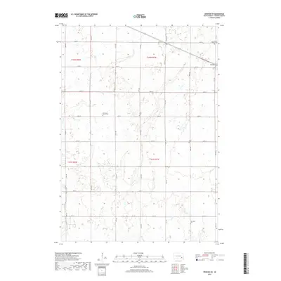
2017 Map of Spencer SW
USGS Topo · Published 2017About this map
The agrarian landscape of Hanson County is meticulously detailed here, centered on the settlement of Emery and its surrounding townships. This region of South Dakota is defined by its deep commitment to early immigrant communities, as evidenced by several denominational burial grounds including Saint Martins Catholic Cem and Saint Martins Lutheran Cem. These sites, along with Elfert Cem and New Hope Cem, provide essential anchor points for genealogists and local historians tracing the settlement patterns of this prairie country.
Find a feature on this map
28 named features on this map. Tap any name to fly to it.
Don’t see what you’re looking for? This feature index may not catch every label — zoom into the map to look around manually.
Map Details
Editions of this 2017 Spencer SW Map
This is the sole edition of this map. No revisions or reprints were ever made.
Other maps of this area

1898 · Olivet
USGS Topo · 1:125,000

1899 · Alexandria
USGS Topo · 1:125,000

1955 · Sioux Falls
USGS Topo · 1:250,000

1957 · Alexandria
USGS Topo · 1:24,000

1957 · Milltown
USGS Topo · 1:24,000

1957 · Clayton
USGS Topo · 1:24,000

1957 · Rockport Colony
USGS Topo · 1:24,000

1958 · Sioux Falls
USGS Topo · 1:250,000

1970 · Clayton NE
USGS Topo · 1:24,000

1973 · Spencer SW
USGS Topo · 1:24,000