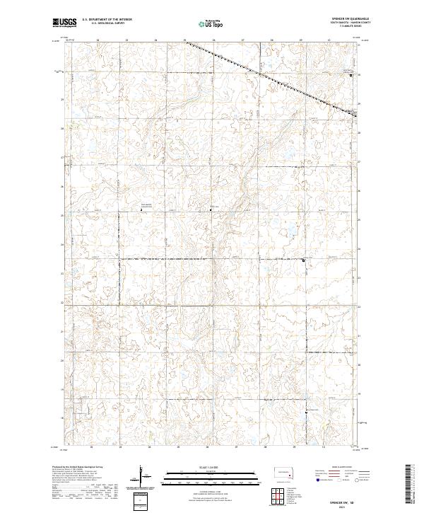
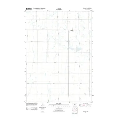
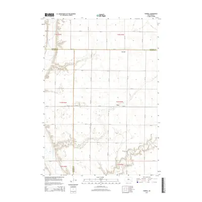
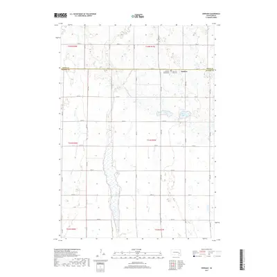
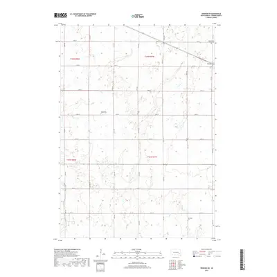
2021 Map of Spencer SW
USGS Topo · Published 2021About this map
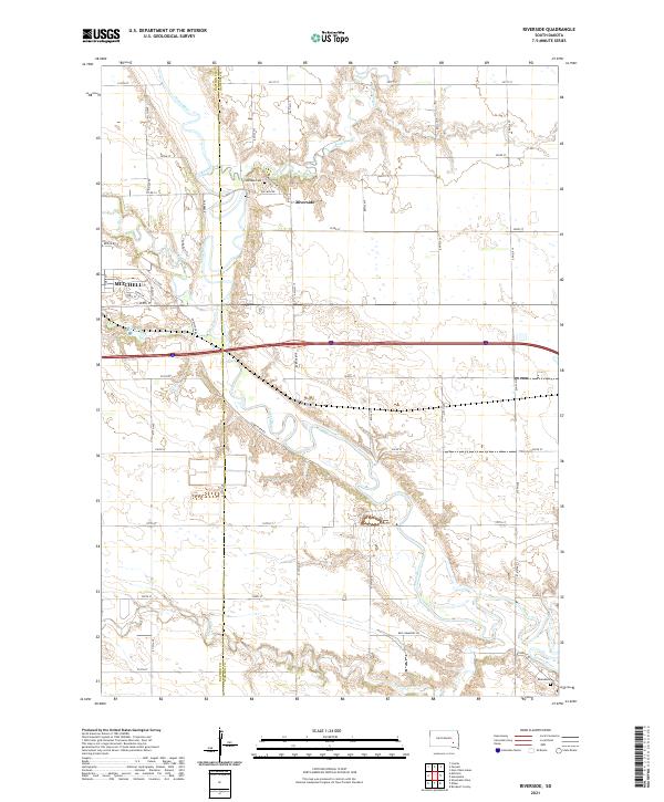
Emery sits at the northeastern corner of this agricultural landscape in Hanson County, where the transition from the high plains to the James River valley is defined by a systematic grid of section roads. The terrain is drained by several meandering waterways including Bloom Cr, Plum Cr, and Elm Cr, which cut through the fertile prairie soils.
Find a feature on this map
27 named features on this map. Tap any name to fly to it.
Don’t see what you’re looking for? This feature index may not catch every label — zoom into the map to look around manually.
Map Details
Editions of this 2021 Spencer SW Map
This is the sole edition of this map. No revisions or reprints were ever made.
Historical Maps of Emery Through Time
25 maps found
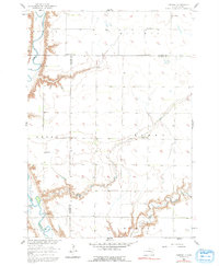
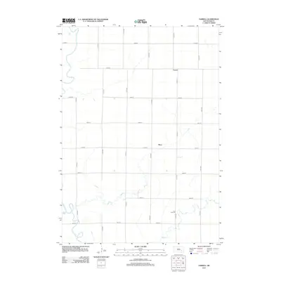
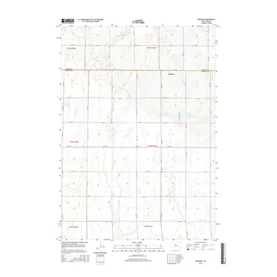
1957 Farwell
Hanson County, SD
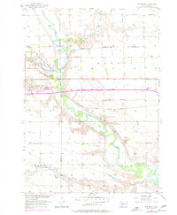
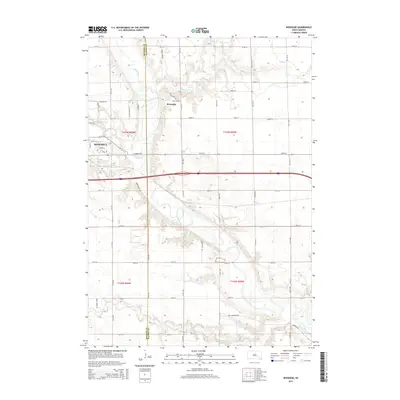
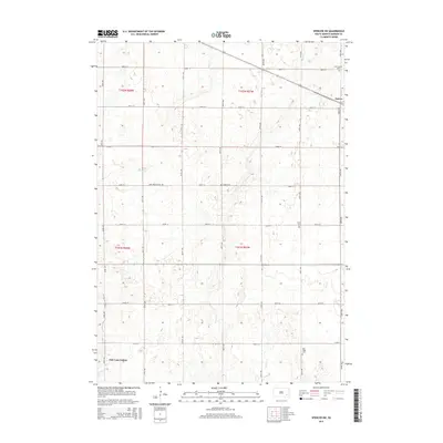
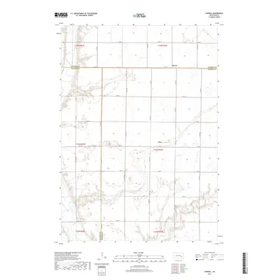
1957 Riverside
Hanson County, SD
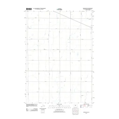
1973 Epiphany
Hanson County, SD
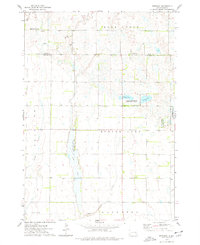
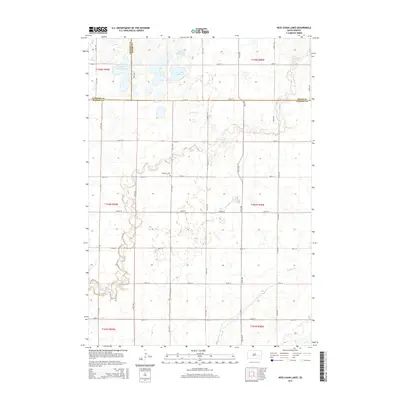
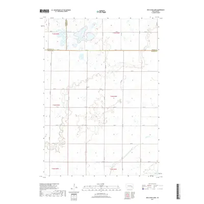
1973 Ness Chain Lakes
Hanson County, SD
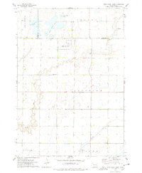
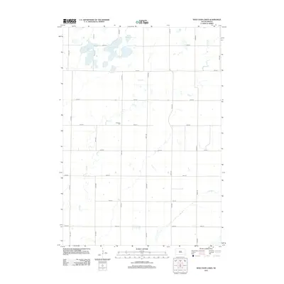
1973 Spencer SW
Hanson County, SD
2012 Epiphany
Hanson County, SD
2012 Farwell
Hanson County, SD
2012 Ness Chain Lakes
Hanson County, SD
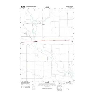
2012 Riverside
Hanson County, SD
2012 Spencer SW
Hanson County, SD
2015 Epiphany
Hanson County, SD
2015 Farwell
Hanson County, SD
2015 Ness Chain Lakes
Hanson County, SD
2015 Riverside
Hanson County, SD
2015 Spencer SW
Hanson County, SD
2017 Epiphany
Hanson County, SD
2017 Farwell
Hanson County, SD
2017 Ness Chain Lakes
Hanson County, SD
2017 Riverside
Hanson County, SD
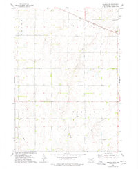
2017 Spencer SW
Hanson County, SD
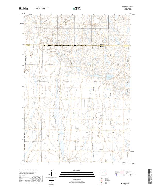
2021 Epiphany
Hanson County, SD
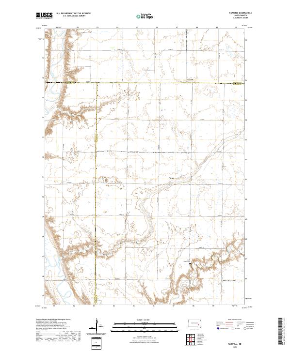
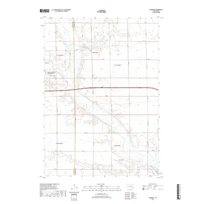
2021 Farwell
Hanson County, SD
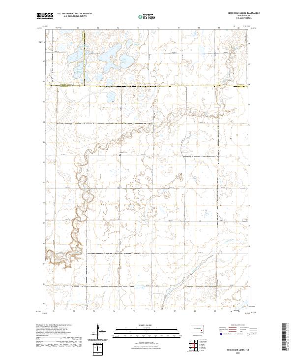
2021 Ness Chain Lakes
Hanson County, SD
2021 Riverside
Hanson County, SD
2021 Spencer SW
Hanson County, SD
Featured Locations
- Pleasant Township, SD
- Taylor Township, SD
- Wayne Township, SD
- Emery, Pleasant Township
- Oak Lane Hutterite Colony, Beulah Township