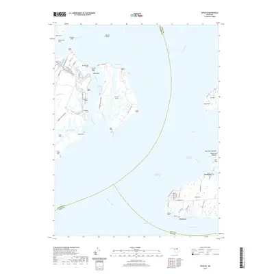
2019 Map of Spesutie
USGS Topo · Published 2019About this map
Aberdeen Proving Ground dominates the western portion of this Upper Chesapeake Bay landscape, where military infrastructure meets the complex hydrology of the Spesutie Narrows. The restricted grounds of Spesutie Island are connected to the mainland via the Spesutie Island Bridge, a critical link between the strategic installations and the network of roads including Main Front Rd and Firehouse Rd. Across the water, the eastern shorelines show the residential character of Cecil County, with established communities like Hazelmoor, West View Shores, and Cheshaven bordering the Elk River and Sassafras River. This geography highlights the convergence of the Intracoastal Waterway and the Chesapeake Channel, revealing how shipping lanes and military history define the northern reaches of the bay. Notable landmarks like Turkey Point and Grove Point anchor the points of land that separate these major river mouths.
Find a feature on this map
69 named features on this map. Tap any name to fly to it.
Don’t see what you’re looking for? This feature index may not catch every label — zoom into the map to look around manually.
Map Details
Editions of this 2019 Spesutie Map
This is the sole edition of this map. No revisions or reprints were ever made.
Other maps of this area

1898 · Elkton
USGS Topo · 1:62,500

1898 · Tolchester
USGS Topo · 1:125,000

1899 · Dover
USGS Topo · 1:125,000

1900 · Elkton
USGS Topo · 1:62,500

1900 · Cecilton
USGS Topo · 1:62,500

1900 · Havre De Grace
USGS Topo · 1:62,500

1900 · Betterton
USGS Topo · 1:62,500

1903 · Tolchester
USGS Topo · 1:125,000

1906 · Dover
USGS Topo · 1:125,000

1908 · Tolchester
USGS Topo · 1:125,000