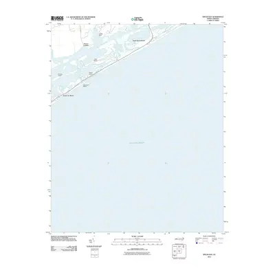
2010 Map of Spicer Bay
USGS Topo · Published 2010About this map
Topsail Island dominates the coastline in this 2010 survey, illustrating the modern development of Onslow County's barrier islands. The map documents the dense residential footprints of coastal communities such as North Topsail Beach, Sea Haven Beach, and Ocean City Beach, contrasted against the preserved marshlands and estuarine environments of Permuda Island and Ashe Island. Inland, the landscape transitions from the open Atlantic Ocean across the Intracoastal Waterway to smaller landings and creek systems. Features like Thomas Landing and Turkey Point mark the interface between the mainland and the sound, while Tar Landing Rd provides primary access to the marshes of Kings Creek. The survey reflects a period of established beach tourism and protected coastal islands just before further 21st-century environmental shifts.
Find a feature on this map
11 named features on this map. Tap any name to fly to it.
Don’t see what you’re looking for? This feature index may not catch every label — zoom into the map to look around manually.
Map Details
Editions of this 2010 Spicer Bay Map
This is the sole edition of this map. No revisions or reprints were ever made.
Other maps of this area

1942 · Spicer Bay
USGS Topo · 1:62,500

1942 · Topsail
USGS Topo · 1:62,500

1948 · Maple Hill
USGS Topo · 1:62,500

1948 · Topsail
USGS Topo · 1:62,500

1948 · New River
USGS Topo · 1:62,500

1952 · Spicer Bay
USGS Topo · 1:24,000

1952 · New River Inlet
USGS Topo · 1:24,000

1952 · Sneads Ferry
USGS Topo · 1:24,000

1953 · Beaufort
USGS Topo · 1:250,000

1954 · Beaufort
USGS Topo · 1:250,000
Featured Places
- Holly Ridge, NC
- North Topsail Beach, NC
- Ocean City Beach, North Topsail Beach
- Thomas Landing, NC
- Onslow County, NC