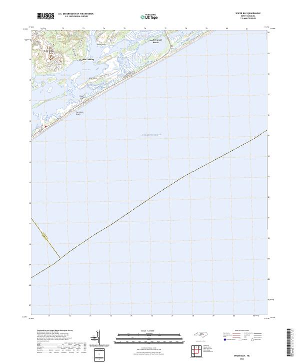
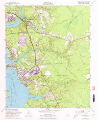
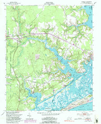
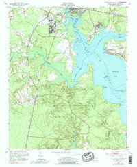
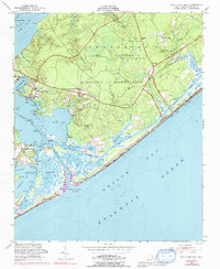
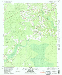
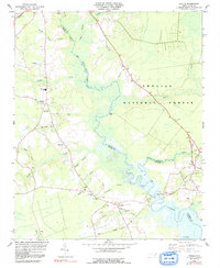
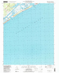
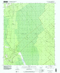
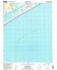
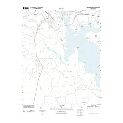
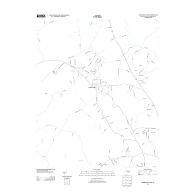
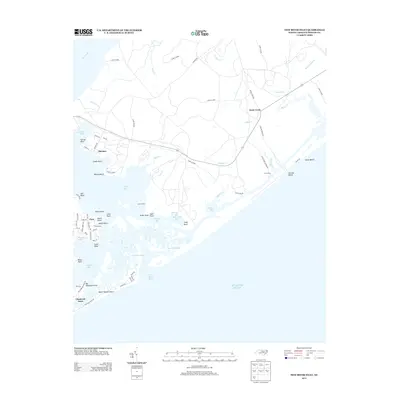
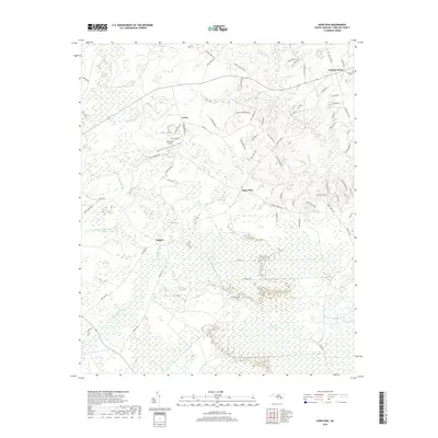
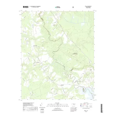
2022 Map of Spicer Bay
USGS Topo · Published 2022About this map
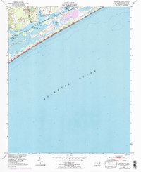
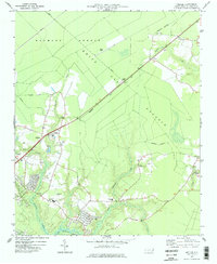
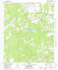
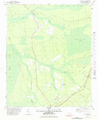
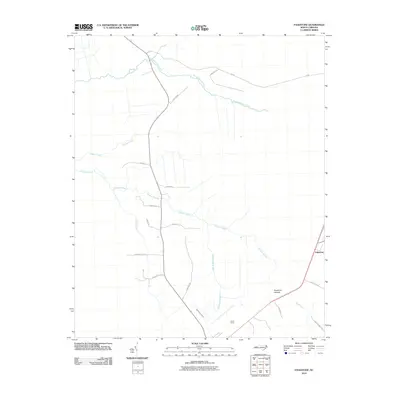
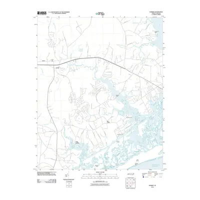
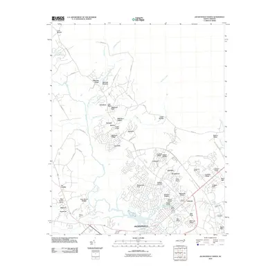
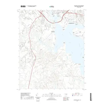
Holly Ridge and the surrounding barrier island landscape define this coastal reach of Onslow County, where the mainland meets the Atlantic at the turn of the 2020s. The settlement at Thomas Landing overlooks the expansive waters of Everett Bay, while the narrow strand of Topsail Island separates the open ocean from the sheltered networks of Stump Sound and Spicer Bay. The map highlights the modern development of coastal communities like North Topsail Beach and Sea Haven Beach, linked to the mainland by Island Dr and the bridges spanning the Intracoastal Waterway. These interior sounds, including Goose Bay and Rogers Bay, remain critical navigational and ecological features, while the landward side is characterized by residential expansion along Holly Ridge Rd and newer developments such as those near Royal Palms Way and Hunter Heath Dr.
Find a feature on this map
36 named features on this map. Tap any name to fly to it.
Don’t see what you’re looking for? This feature index may not catch every label — zoom into the map to look around manually.
Map Details
Editions of this 2022 Spicer Bay Map
This is the sole edition of this map. No revisions or reprints were ever made.
Historical Maps of Holly Ridge Through Time
93 maps found

1942 Spicer Bay
Onslow County, NC
1948 Maple Hill
Onslow County, NC
1948 New River
Onslow County, NC
1952 Browns Inlet
Onslow County, NC
1952 Camp Lejeune
Onslow County, NC
1952 Hubert
Onslow County, NC
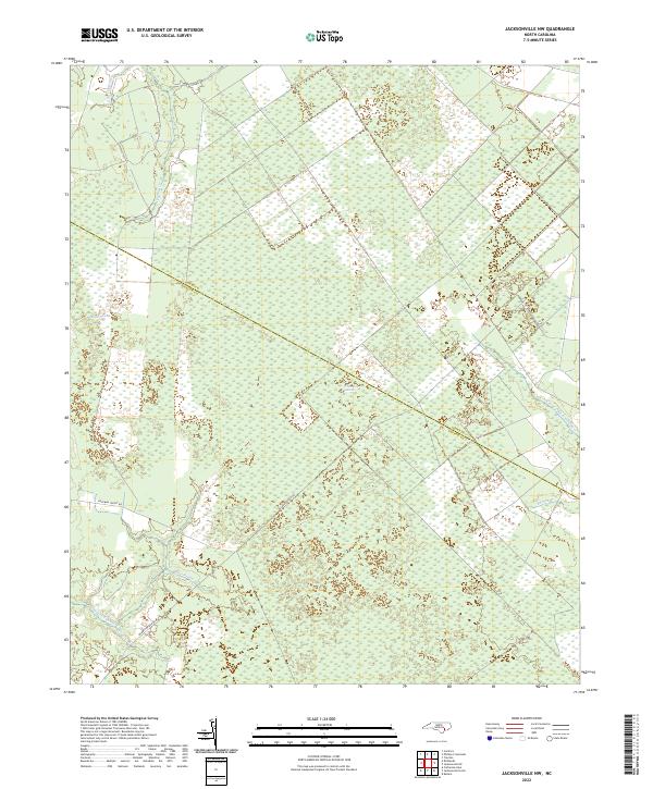
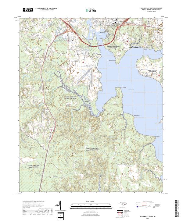
1952 Jacksonville South
Onslow County, NC
1952 New River Inlet
Onslow County, NC
1952 Spicer Bay
Onslow County, NC

1975 Jacksonville NW
Onslow County, NC
1977 Kellum
Onslow County, NC

1978 Jacksonville North
Onslow County, NC
1980 Catherine Lake
Onslow County, NC

1980 Spicer Bay
Onslow County, NC
1981 Folkstone
Onslow County, NC
1981 Haws Run
Onslow County, NC
1984 Stella
Onslow County, NC

1986 New River
Onslow County, NC

1991 New River
Onslow County, NC

1994 Stella
Onslow County, NC
1997 Browns Inlet
Onslow County, NC

1997 Hubert
Onslow County, NC

1997 Jacksonville North
Onslow County, NC
1997 Jacksonville NW
Onslow County, NC

1997 Jacksonville South
Onslow County, NC

1997 Kellum
Onslow County, NC

1997 New River Inlet
Onslow County, NC
1997 Spicer Bay
Onslow County, NC
2010 Browns Inlet
Onslow County, NC
2010 Camp Lejeune
Onslow County, NC
2010 Catherine Lake
Onslow County, NC
2010 Folkstone
Onslow County, NC
2010 Hubert
Onslow County, NC
2010 Jacksonville North
Onslow County, NC
2010 Jacksonville NW
Onslow County, NC
2010 Jacksonville South
Onslow County, NC
2010 Kellum
Onslow County, NC
2010 New River Inlet
Onslow County, NC
2010 Spicer Bay
Onslow County, NC
2011 Haws Run
Onslow County, NC
2011 Stella
Onslow County, NC
2013 Browns Inlet
Onslow County, NC
2013 Camp Lejeune
Onslow County, NC
2013 Catherine Lake
Onslow County, NC
2013 Folkstone
Onslow County, NC
2013 Haws Run
Onslow County, NC
2013 Hubert
Onslow County, NC
2013 Jacksonville North
Onslow County, NC
2013 Jacksonville NW
Onslow County, NC
2013 Jacksonville South
Onslow County, NC
2013 Kellum
Onslow County, NC
2013 New River Inlet
Onslow County, NC
2013 Spicer Bay
Onslow County, NC
2013 Stella
Onslow County, NC
2016 Browns Inlet
Onslow County, NC
2016 Camp Lejeune
Onslow County, NC
2016 Catherine Lake
Onslow County, NC
2016 Folkstone
Onslow County, NC
2016 Haws Run
Onslow County, NC
2016 Hubert
Onslow County, NC
2016 Jacksonville North
Onslow County, NC
2016 Jacksonville NW
Onslow County, NC
2016 Jacksonville South
Onslow County, NC
2016 Kellum
Onslow County, NC
2016 New River Inlet
Onslow County, NC
2016 Spicer Bay
Onslow County, NC
2016 Stella
Onslow County, NC
2019 Browns Inlet
Onslow County, NC
2019 Camp Lejeune
Onslow County, NC
2019 Catherine Lake
Onslow County, NC
2019 Folkstone
Onslow County, NC
2019 Haws Run
Onslow County, NC
2019 Hubert
Onslow County, NC
2019 Jacksonville North
Onslow County, NC
2019 Jacksonville NW
Onslow County, NC
2019 Jacksonville South
Onslow County, NC
2019 Kellum
Onslow County, NC
2019 New River Inlet
Onslow County, NC
2019 Spicer Bay
Onslow County, NC
2019 Stella
Onslow County, NC
2022 Browns Inlet
Onslow County, NC
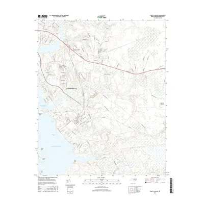
2022 Camp Lejeune
Onslow County, NC
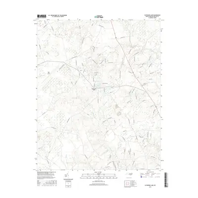
2022 Catherine Lake
Onslow County, NC
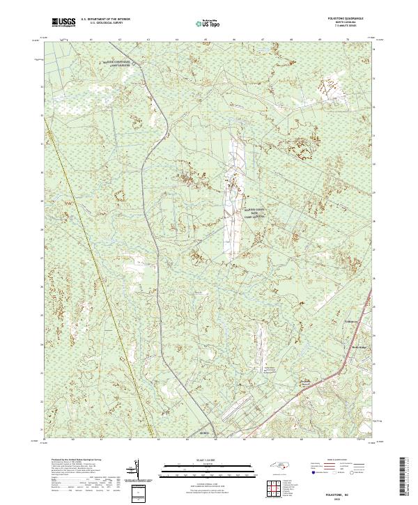
2022 Folkstone
Onslow County, NC
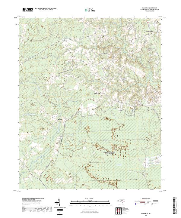
2022 Haws Run
Onslow County, NC
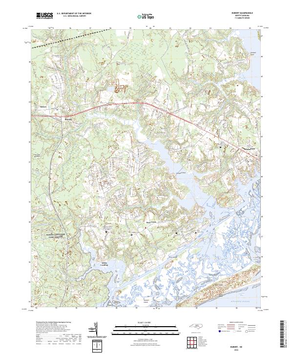
2022 Hubert
Onslow County, NC
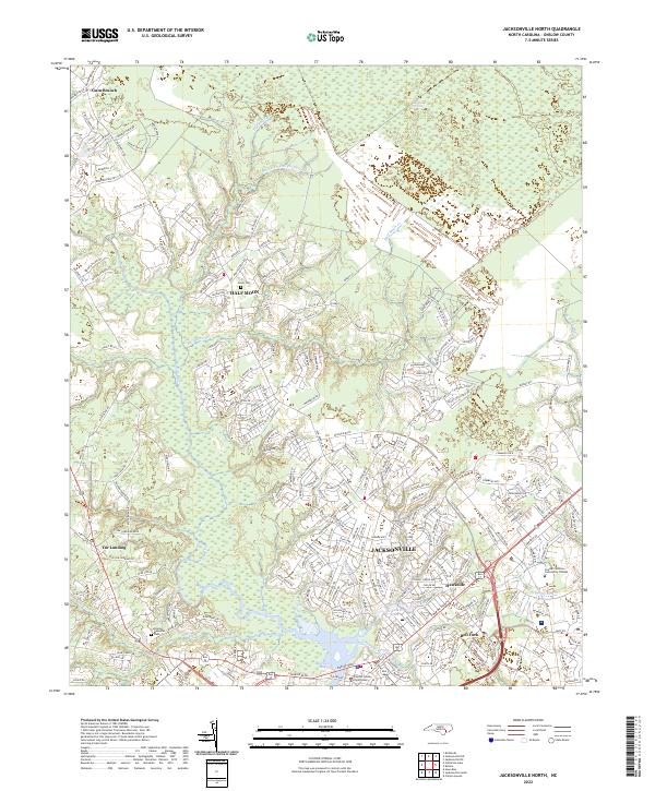
2022 Jacksonville North
Onslow County, NC
2022 Jacksonville NW
Onslow County, NC
2022 Jacksonville South
Onslow County, NC
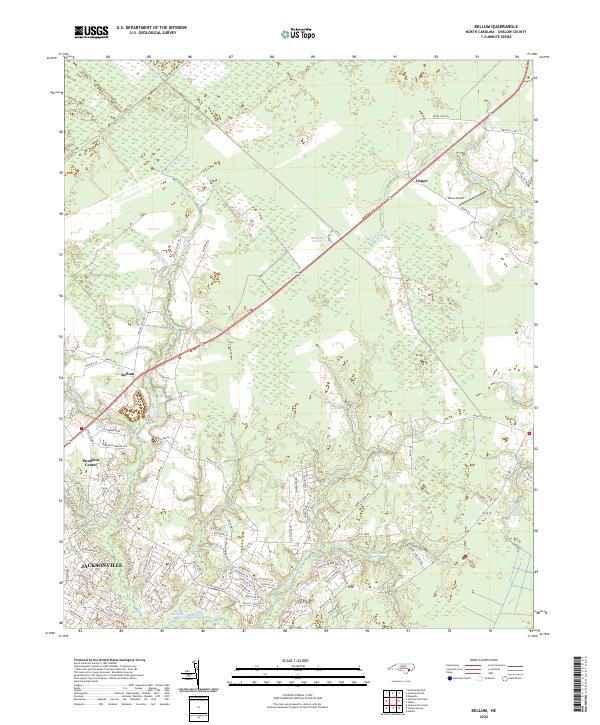
2022 Kellum
Onslow County, NC
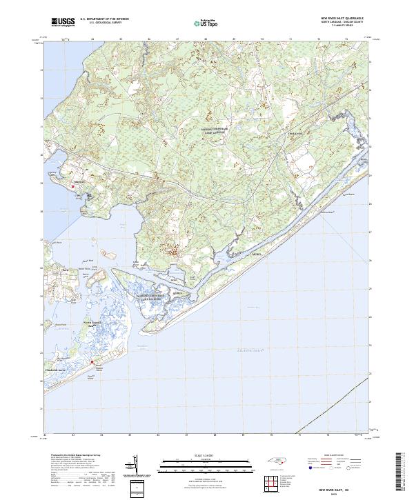
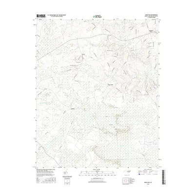
2022 New River Inlet
Onslow County, NC
2022 Spicer Bay
Onslow County, NC
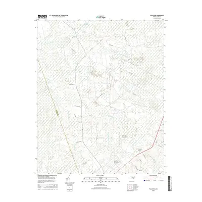
2022 Stella
Onslow County, NC
Featured Locations
- Onslow County, NC
- North Topsail Beach, NC
- Holly Ridge, NC
- Thomas Landing, NC
- Ocean City Beach, North Topsail Beach