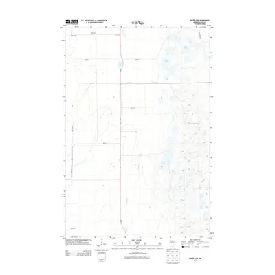
2013 Map of Spider Lake
USGS Topo · Published 2013About this map
Spider Lake Lookout Tower stands as a prominent navigational landmark within this lake-dense portion of Cass County. The landscape is defined by an intricate network of glacial water bodies, ranging from the larger Spider Lake and Goose Lake to smaller basins like Spot Lake and Mink Lake. Drainage for these waters is provided by narrow waterways such as Beaver Cr and Farnham Cr. Human activity is concentrated along the north-south corridor of MN-64, which bisects the quadrangle, and at the Black Bear Golf Course in the northwest. The presence of Bull Moose Trl and various section-line roads like 24th St SW suggests a region primarily managed for timber, recreation, and seasonal residences, with many lakes like Clear Lake and Fish Lake remaining relatively secluded from major transit routes.
Find a feature on this map
27 named features on this map. Tap any name to fly to it.
Don’t see what you’re looking for? This feature index may not catch every label — zoom into the map to look around manually.
Map Details
Editions of this 2013 Spider Lake Map
This is the sole edition of this map. No revisions or reprints were ever made.
Other maps of this area

1919 · Leader
USGS Topo · 1:62,500

1953 · Brainerd
USGS Topo · 1:250,000

1957 · Brainerd
USGS Topo · 1:250,000

1958 · Brainerd
USGS Topo · 1:250,000

1965 · Brainerd
USGS Topo · 1:250,000

1969 · Burgen Lake
USGS Topo · 1:24,000
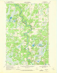
1969 · Oylen
USGS Topo · 1:24,000

1970 · Spider Lake
USGS Topo · 1:24,000

1970 · Backus
USGS Topo · 1:24,000
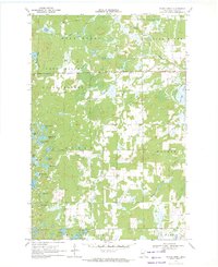
1970 · Bungo Creek
USGS Topo · 1:24,000