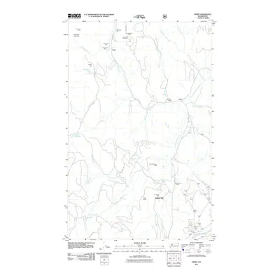
2011 Map of Spirit
USGS Topo · Published 2011About this map
Deep Creek and its numerous tributaries, including West Fork Lime Creek and South Fork Deep Creek, carve through this section of Stevens County, defining a landscape heavily shaped by its mining heritage. The area around the small settlement of Spirit and the South Fork Grange reveals a dense concentration of mineral extraction sites. From the Stonewall Mine in the northwest to the Magma Mine in the southeast, the terrain is dotted with diverse operations including the Marble Quarry and the Goldfield Mill. This industrial presence is woven into a geography of named peaks like Stoddard Mountain and Frederickson Hill, connected by a network of rural routes such as Aladdin Rd and Pick Rd. The map illustrates the persistence of these hard-rock and quarrying locations alongside the natural drainages of Smackout Creek and Harrier Creek.
Find a feature on this map
41 named features on this map. Tap any name to fly to it.
Don’t see what you’re looking for? This feature index may not catch every label — zoom into the map to look around manually.
Map Details
Editions of this 2011 Spirit Map
This is the sole edition of this map. No revisions or reprints were ever made.
Other maps of this area

1929 · Colville
USGS Topo · 1:125,000

1933 · Colville
USGS Topo · 1:125,000

1952 · Gillette Mtn
USGS Topo · 1:24,000

1952 · Spirit
USGS Topo · 1:24,000

1952 · Deep Lake
USGS Topo · 1:24,000

1952 · Leadpoint
USGS Topo · 1:24,000

1952 · Boundary
USGS Topo · 1:24,000

1952 · Aladdin
USGS Topo · 1:24,000

1958 · Sandpoint
USGS Topo · 1:250,000

1963 · Sandpoint
USGS Topo · 1:250,000