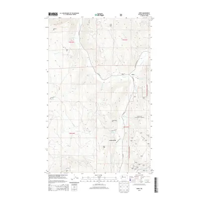
2014 Map of Spirit
USGS Topo · Published 2014About this map
The settlement of Spirit sits at the junction of several drainage systems in the northern Washington mountains, where Deep Cr meets its southern fork. This 2014 survey documents a landscape defined by significant topographic relief, from the high peaks of Stoddard Mtn and Lime Creek Mtn in the north to Green Mtn in the south. The area’s history of industry and agriculture is evidenced by the presence of the Goldfield Mill and the South Fork Grange, both located along the corridor of Aladdin Rd. Much of the eastern and southern terrain is managed as part of the Colville National Forest, while family-named landmarks like Frederickson Hill, Koski Hill, and Quinns Meadows suggest a long history of local land use. A dense network of forest roads and creeks, including Smackout Cr and Miller Cr, threads through the timbered slopes and ridges of the Blue Ridge.
Find a feature on this map
42 named features on this map. Tap any name to fly to it.
Don’t see what you’re looking for? This feature index may not catch every label — zoom into the map to look around manually.
Map Details
Editions of this 2014 Spirit Map
This is the sole edition of this map. No revisions or reprints were ever made.
Other maps of this area

1929 · Colville
USGS Topo · 1:125,000

1933 · Colville
USGS Topo · 1:125,000

1952 · Gillette Mtn
USGS Topo · 1:24,000

1952 · Spirit
USGS Topo · 1:24,000

1952 · Deep Lake
USGS Topo · 1:24,000

1952 · Leadpoint
USGS Topo · 1:24,000

1952 · Boundary
USGS Topo · 1:24,000

1952 · Aladdin
USGS Topo · 1:24,000

1958 · Sandpoint
USGS Topo · 1:250,000

1963 · Sandpoint
USGS Topo · 1:250,000