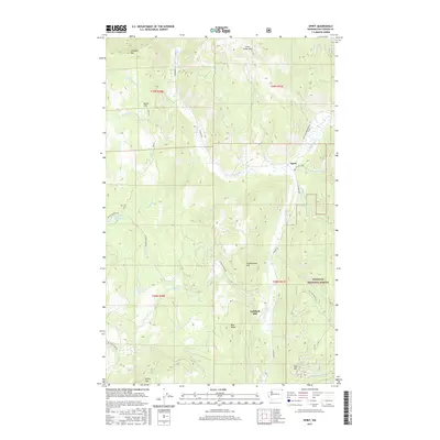
2017 Map of Spirit
USGS Topo · Published 2017About this map
Spirit sits at the intersection of Aladdin Rd and Co Hwy 4708 within the northeastern Washington landscape of the Colville National Forest. The area is defined by a dense network of watercourses, including Deep Cr and its various forks, which drain the high elevations of Stoddard Mtn and Green Mtn. This 2017 survey highlights the region's historical industrial footprint at the Goldfield Mill near the S Fork Deep Cr.
Find a feature on this map
41 named features on this map. Tap any name to fly to it.
Don’t see what you’re looking for? This feature index may not catch every label — zoom into the map to look around manually.
Map Details
Editions of this 2017 Spirit Map
This is the sole edition of this map. No revisions or reprints were ever made.
Other maps of this area

1929 · Colville
USGS Topo · 1:125,000

1933 · Colville
USGS Topo · 1:125,000

1952 · Gillette Mtn
USGS Topo · 1:24,000

1952 · Spirit
USGS Topo · 1:24,000

1952 · Deep Lake
USGS Topo · 1:24,000

1952 · Leadpoint
USGS Topo · 1:24,000

1952 · Boundary
USGS Topo · 1:24,000

1952 · Aladdin
USGS Topo · 1:24,000

1958 · Sandpoint
USGS Topo · 1:250,000

1963 · Sandpoint
USGS Topo · 1:250,000