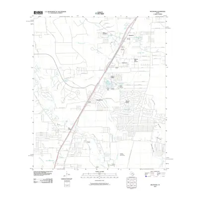
2010 Map of Splendora
USGS Topo · Published 2010About this map
Splendora and its surrounding communities in Montgomery County are defined by a complex network of waterways and the Splendora Oil Field. The landscape is etched with various family-named sites and historic landmarks, including Mizell Cemetery, Splendora Cemetery, and the Skinner Cemetery near the southern boundary. These burial grounds, alongside the Kid Cemetery near New Caney, offer significant touchpoints for genealogical research in this part of East Texas.
Find a feature on this map
80 named features on this map. Tap any name to fly to it.
Don’t see what you’re looking for? This feature index may not catch every label — zoom into the map to look around manually.
Map Details
Editions of this 2010 Splendora Map
This is the sole edition of this map. No revisions or reprints were ever made.
Other maps of this area

1916 · Moonshine Hill
USGS Topo · 1:24,000

1916 · Huffman
USGS Topo · 1:24,000

1919 · Weeden
USGS Topo · 1:31,680

1920 · Moonshine Hill
USGS Topo · 1:31,680

1920 · Huffman
USGS Topo · 1:31,680

1954 · Beaumont
USGS Topo · 1:250,000

1957 · Beaumont
USGS Topo · 1:250,000

1958 · Fostoria
USGS Topo · 1:24,000

1958 · Cleveland
USGS Topo · 1:24,000

1959 · Plum Grove
USGS Topo · 1:24,000