
2016 Map of Splendora
USGS Topo · Published 2016About this map
Peach Creek defines the local landscape of this Montgomery County corridor, winding southward through the residential developments of Patton Village, Woodbranch, and Roman Forest. The map documents a period of significant growth along the US Hwy 59 axis, where established communities like Splendora and New Caney are connected by a network of local roads such as FM 2090 and FM 1485. Family history and local heritage are anchored by several marked burial sites, including Splendora Cem, Mizell Cem, and Kid Cem.
Find a feature on this map
63 named features on this map. Tap any name to fly to it.
Don’t see what you’re looking for? This feature index may not catch every label — zoom into the map to look around manually.
Map Details
Editions of this 2016 Splendora Map
This is the sole edition of this map. No revisions or reprints were ever made.
Other maps of this area

1916 · Moonshine Hill
USGS Topo · 1:24,000
1916 · Huffman
USGS Topo · 1:24,000
1919 · Weeden
USGS Topo · 1:31,680
1920 · Moonshine Hill
USGS Topo · 1:31,680
1920 · Huffman
USGS Topo · 1:31,680

1954 · Beaumont
USGS Topo · 1:250,000

1957 · Beaumont
USGS Topo · 1:250,000
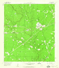
1958 · Fostoria
USGS Topo · 1:24,000
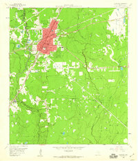
1958 · Cleveland
USGS Topo · 1:24,000
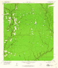
1959 · Plum Grove
USGS Topo · 1:24,000