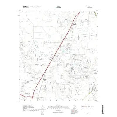
2019 Map of Splendora
USGS Topo · Published 2019About this map
Splendora and New Caney anchor this 2019 survey of eastern Montgomery County, where the sprawling residential street networks of Roman Forest and Woodbranch meet the dense forest and creek bottoms of the East Fork San Jacinto River watershed. The landscape is defined by its transition from rural woodland to suburban development, with older settlements like Keefer and Patton Village situated along the historic transportation corridor of Old Hwy 59.
Find a feature on this map
65 named features on this map. Tap any name to fly to it.
Don’t see what you’re looking for? This feature index may not catch every label — zoom into the map to look around manually.
Map Details
Editions of this 2019 Splendora Map
This is the sole edition of this map. No revisions or reprints were ever made.
Other maps of this area

1916 · Moonshine Hill
USGS Topo · 1:24,000

1916 · Huffman
USGS Topo · 1:24,000

1919 · Weeden
USGS Topo · 1:31,680

1920 · Moonshine Hill
USGS Topo · 1:31,680

1920 · Huffman
USGS Topo · 1:31,680

1954 · Beaumont
USGS Topo · 1:250,000

1957 · Beaumont
USGS Topo · 1:250,000

1958 · Fostoria
USGS Topo · 1:24,000

1958 · Cleveland
USGS Topo · 1:24,000

1959 · Plum Grove
USGS Topo · 1:24,000