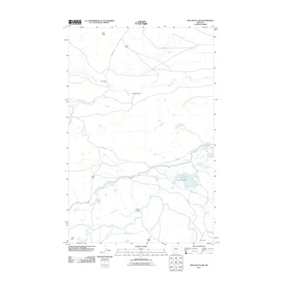
2011 Map of Split Rock Lake
USGS Topo · Published 2011About this map
The Sun River winds through this section of Lewis and Clark County, defining a landscape shaped by both natural drainage and agricultural engineering. Central to the area's water management is the Pishkun Canal, which connects several water bodies including Pishkun Reservoir and Split Rock Lake, the latter held by the Split Rock Lake Dam. These irrigation features provide the necessary resources for local cattle operations and homesteads found throughout the territory.
Find a feature on this map
22 named features on this map. Tap any name to fly to it.
Don’t see what you’re looking for? This feature index may not catch every label — zoom into the map to look around manually.
Map Details
Editions of this 2011 Split Rock Lake Map
This is the sole edition of this map. No revisions or reprints were ever made.
Other maps of this area

1903 · Saypo
USGS Topo · 1:125,000

1920 · Choteau
USGS Topo · 1:125,000

1955 · Choteau
USGS Topo · 1:250,000

1957 · Choteau
USGS Topo · 1:250,000

1958 · Choteau
USGS Topo · 1:250,000

1958 · Ear Mountain
USGS Topo · 1:24,000

1958 · Lake Theboe
USGS Topo · 1:24,000

1958 · Barr Creek
USGS Topo · 1:24,000

1958 · Sawtooth Ridge
USGS Topo · 1:24,000

1958 · Castle Reef
USGS Topo · 1:24,000